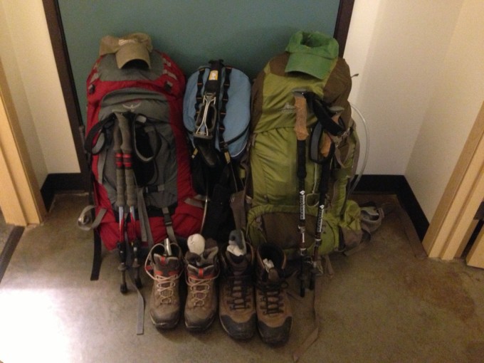
Backpacking is something we haven’t done a lot of in the past but want to do more of it going forward. Bobby had selected Noble Knob as a possible day hike location, then using our GIS app GAIA he discovered that we could turn the 7 mile day hike into a 21.2 mile loop multi day backpacking trip. The weather looked perfect for the trip that was sure to include incredible views of Mount Rainier and the surrounding Cascade range. I loaded up our packs Friday afternoon for the two night adventure and we set off immediately after Bobby got home from work around 5:30.
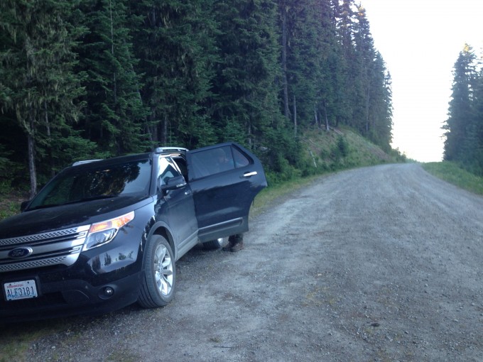
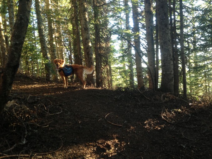
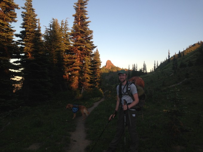
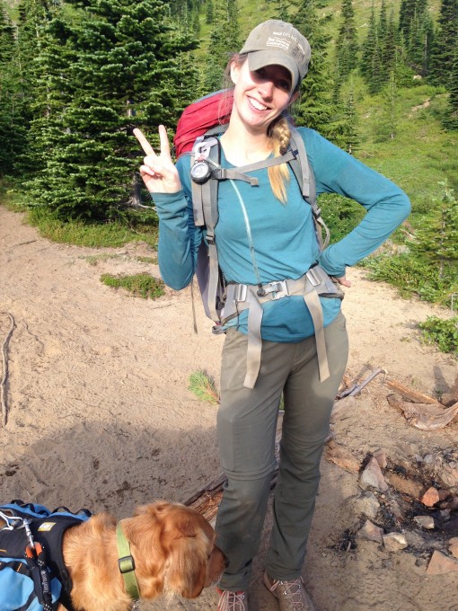
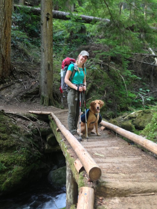
It was a two hour drive to the trailhead and we stopped for a quick dinner along the way. We arrived at the trailhead around 7:30, laced up our backpacking boots, shouldered our packs, slipped Latigo’s backpack on, and hit the trail.
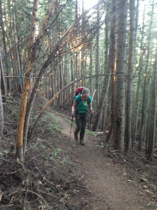
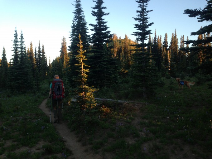
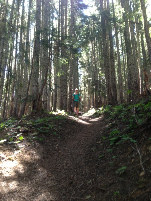
Sunset was just before 9:00 p.m. but we only had to hike two miles in to George Lake where we would be camping for the night. The trail was wooded and had a steep incline.
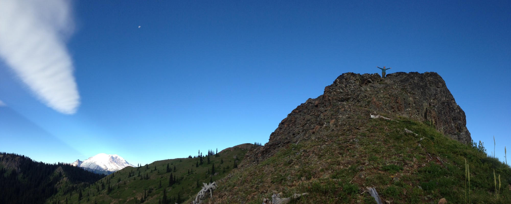
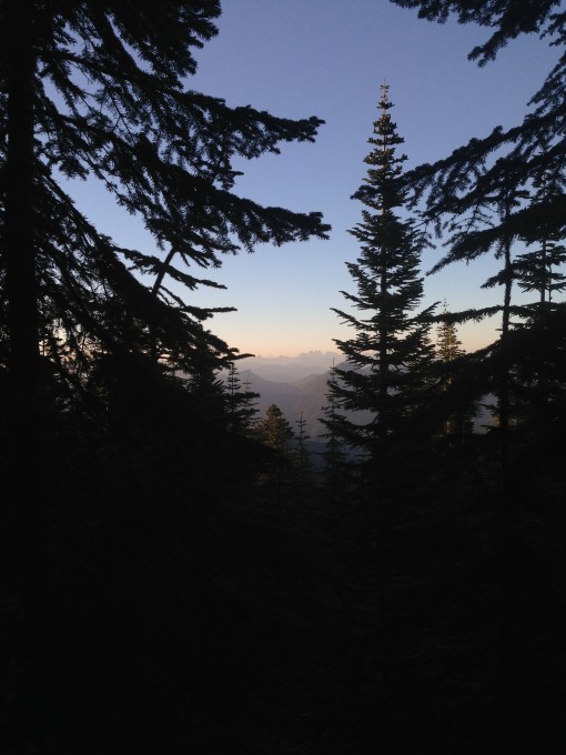
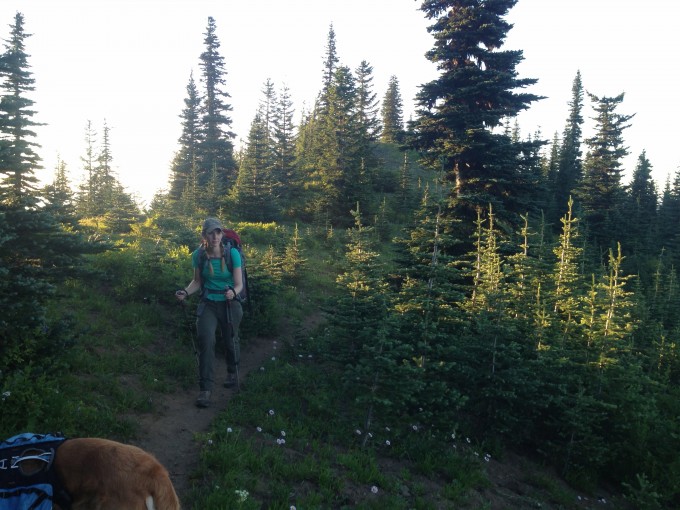
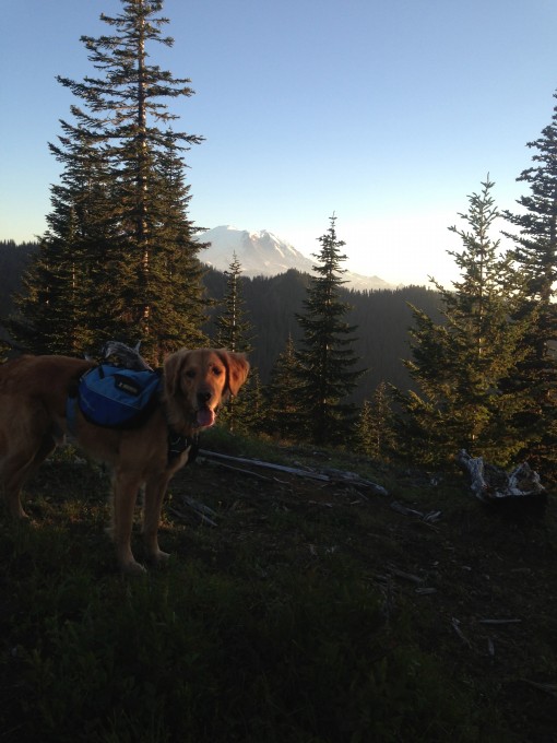
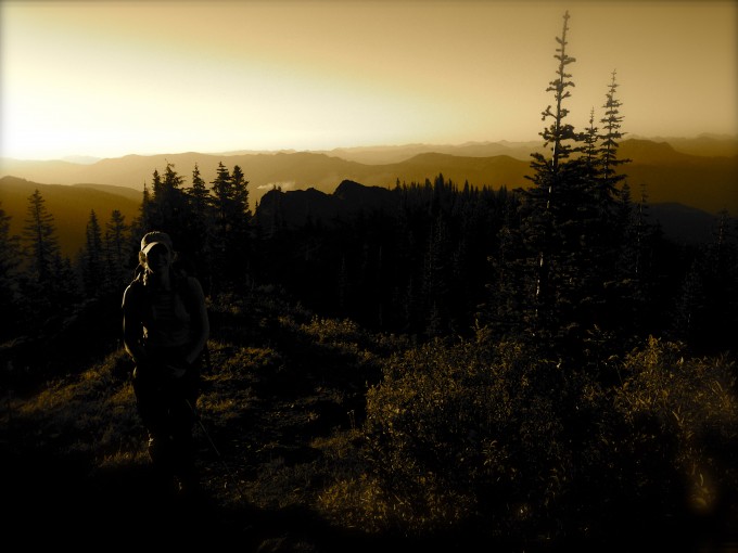
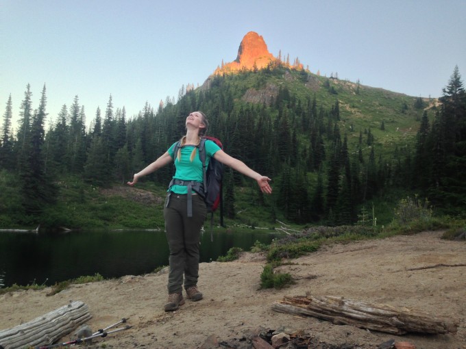
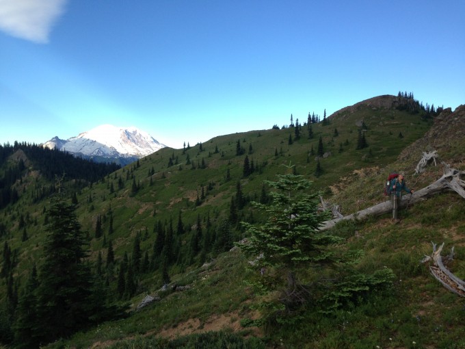
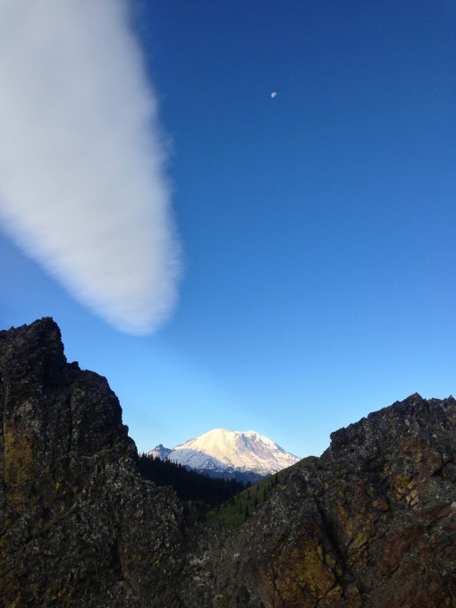
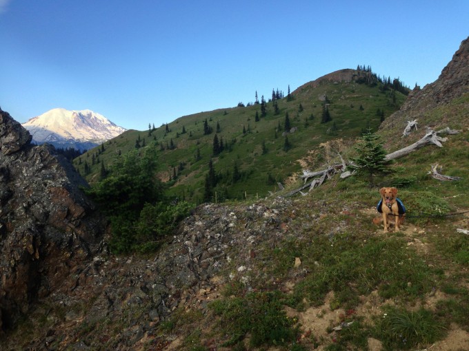
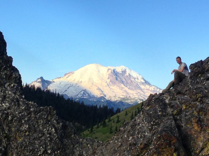
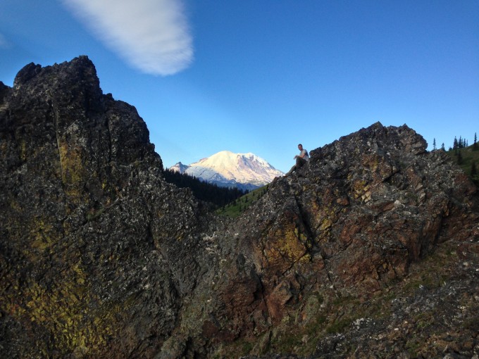
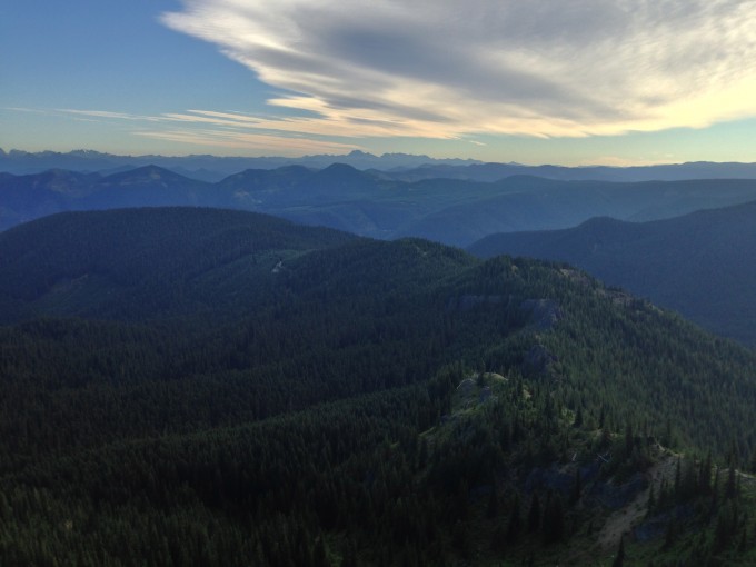
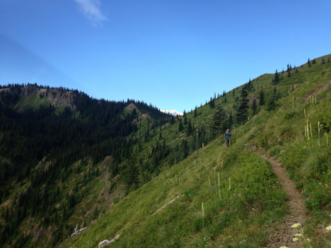
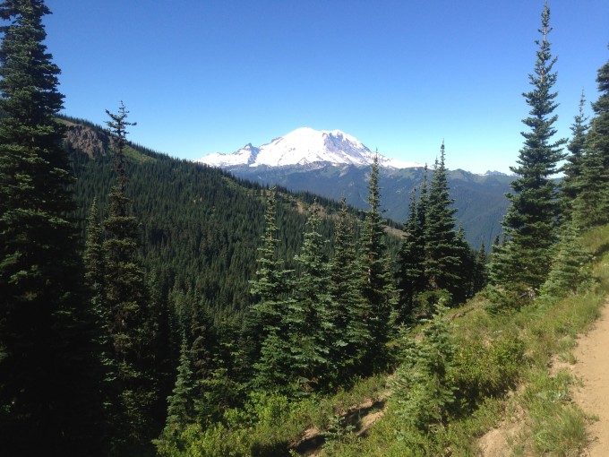
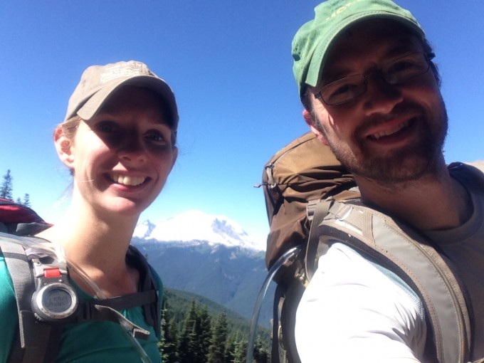
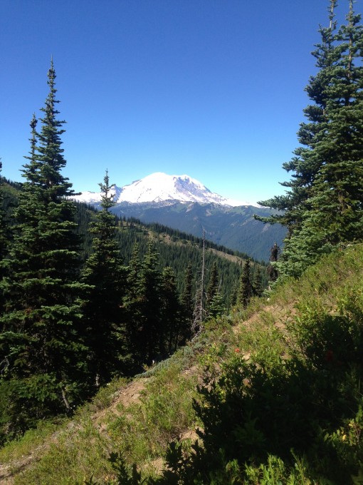
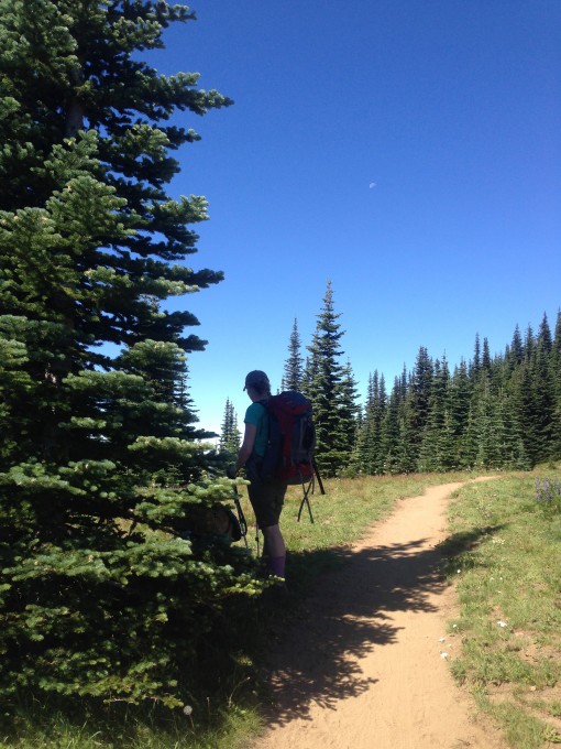
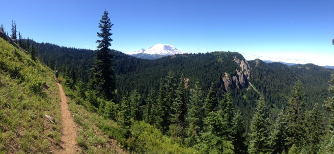
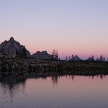
We huffed and puffed our way into a meadow clearing about 1.5 miles in and were awarded with spectacular views of Mount Rainier. The approaching dusk gave the mountains a magical glow that took our breath away.
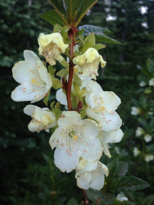
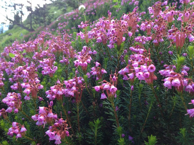
The wildflowers were in fine form atop this clearing.
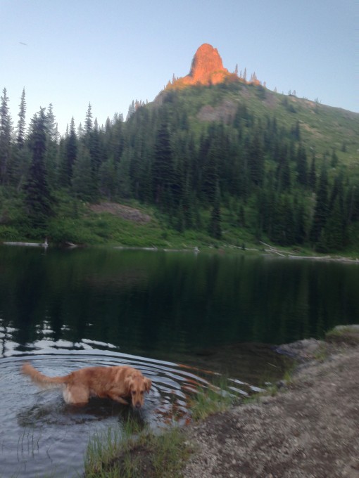
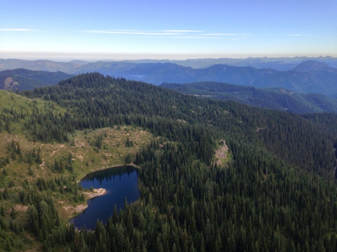
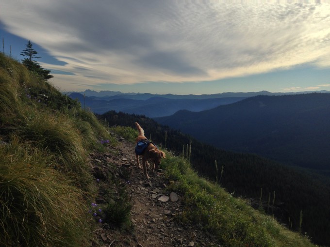
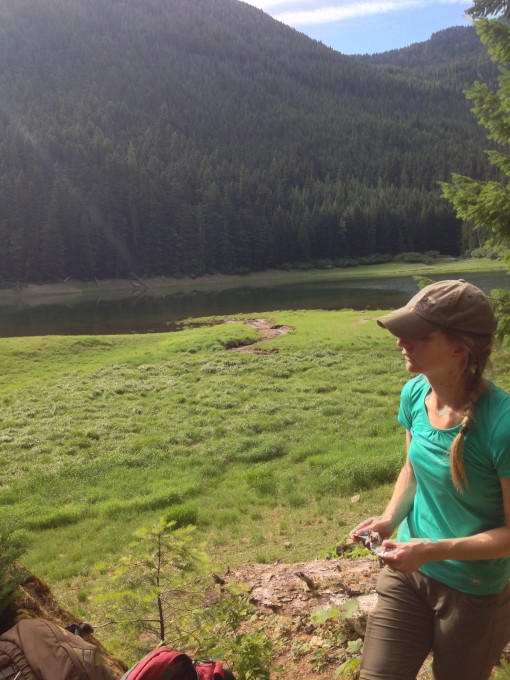
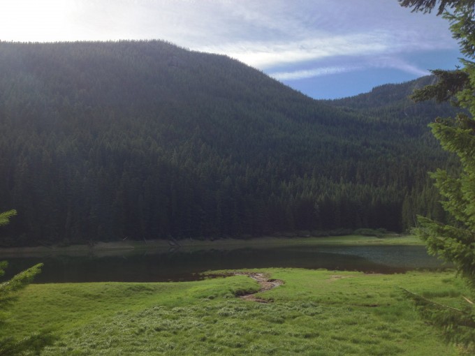
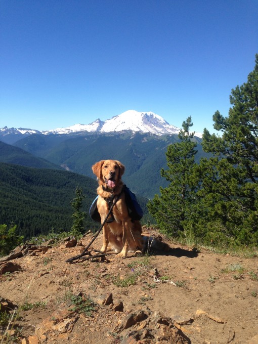
In the meadow we came to a trail junction and turned left to head down to George Lake the trail was steeply declined and slightly rocky. Latigo, sensing the nearby body of water sprinted ahead. We called, in vain, for him to return to us. He had his backpack on and we were concerned that his food would get wet. But, there was no stopping him from wading in and getting a much deserved drink. He came running back and we were able to slip his backpack off and he submerged himself in the frigid waters of George Lake.
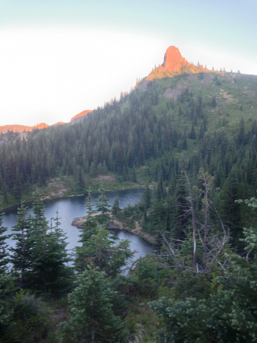
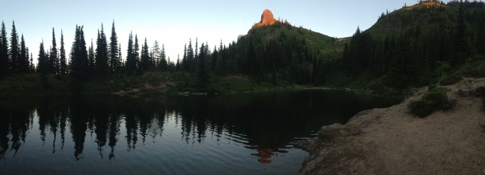
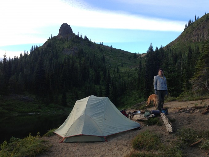
We passed several unoccupied campsites as we continued our descent to the lake shore where there was a site on a small peninsula jutting out into the blue/green waters.
The ground wasn’t all that level and it was dusty, but who could say no to such picture perfect surroundings, so we made camp.
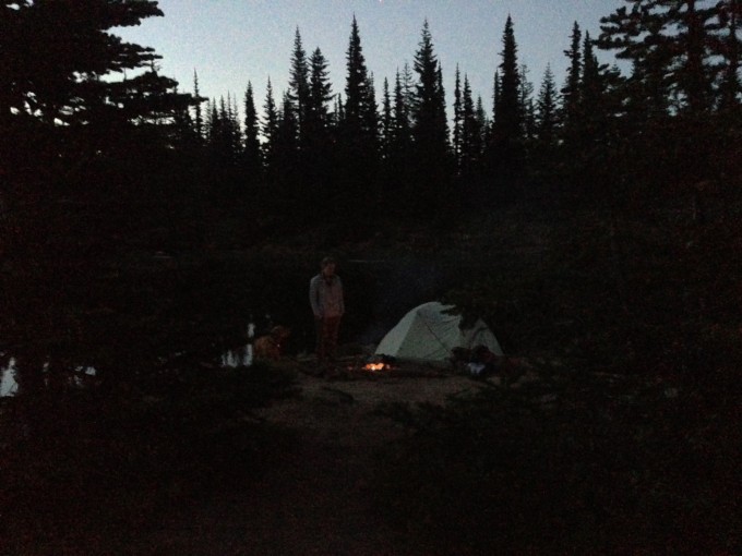
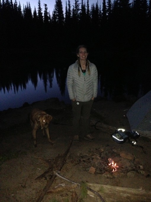
While this site felt incredibly remote, there was a constant reminder of the outside world, airplanes continually flew low overhead. Aside from that, the site couldn’t have been any more amazing. We built a small fire in the makeshift fire ring before settling in for the night.
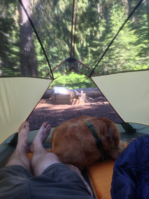
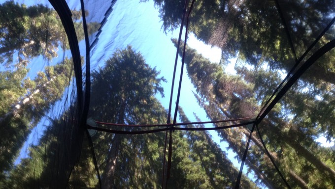
We aren’t used to camping out in the open so much and were surprised at how windy it was. The rainfly of the tent flapped in the wind making noises that sounded eerily like people and/or animals approaching our site. It took awhile to get used to the noises before finally falling into a fitful sleep.
We arose early the next morning, the incline of the site made for an uneasy sleep and the excitement at the day’s hike ahead of us had us rising much earlier than normal. It was just before 6:00 a.m. We heated water in our Jetboil stove to make the scrambled egg, ham, and veggie freeze-dried breakfast we had. We wrapped the warm ingredients inside tortillas and savored the warmth of the meal as we watched the mountains around us.
We packed camp and were on the trail just after 7:00 a.m. We had 9.8 miles to do that day and were eager to get going.
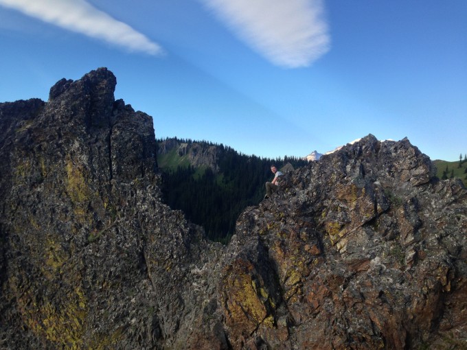
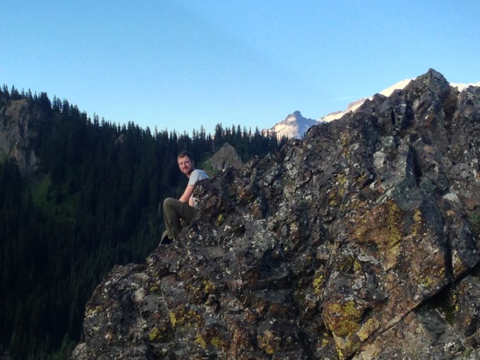
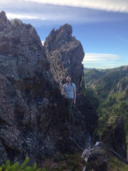
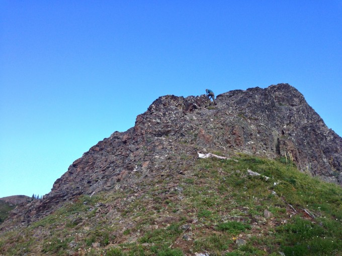
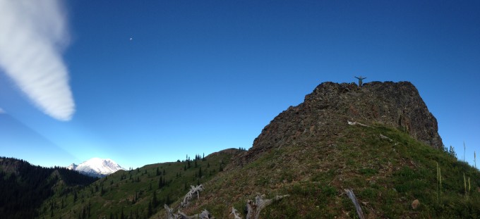
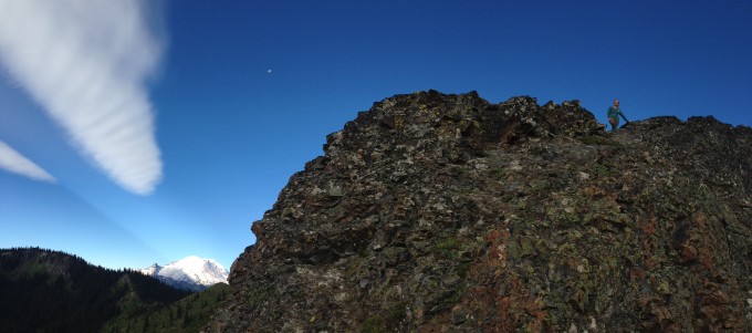
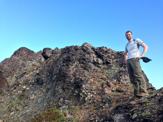
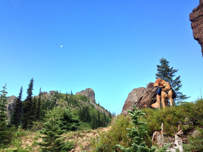
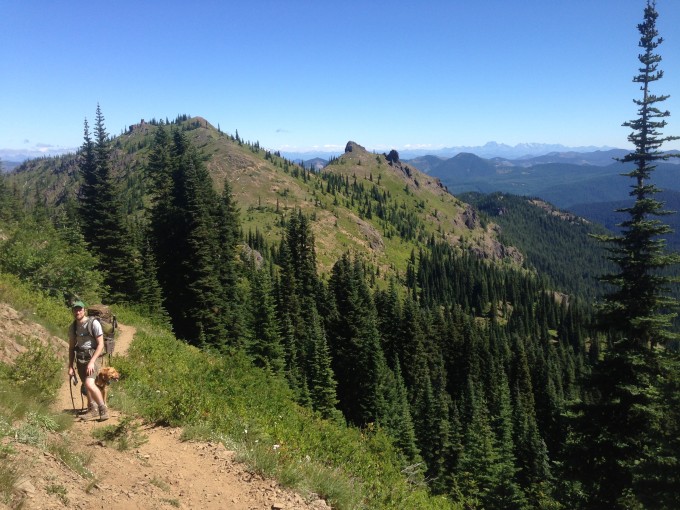
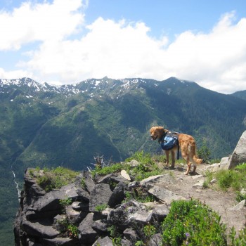
We thought we could see a trail between two peaks near our camp that would allow us to skip backtracking out of the site and back to the trail we had left the previous day. Turns out this “trail” we had spotted was nothing more than a not so well used deer trail that turned into a drainage area. The terrain was steep and slippery but we made it up and could see the trail before us and joined it. Our first destination of the day was Noble Knob where spectacular views would be in good supply. The previous evening we believed we could see Noble Knob from our site and that was where we headed. We wouldn’t discover until the next day that what we had thought was Noble Knob wasn’t it at all… We were at 5381 feet and it still offered incredible views and we had a great time climbing around on the rocks at the peak.
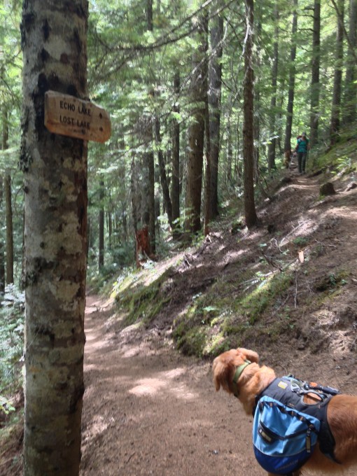
We headed down the side trail that led back to the main trail we would be taking for the first 5 miles of the day, Trail #1185.
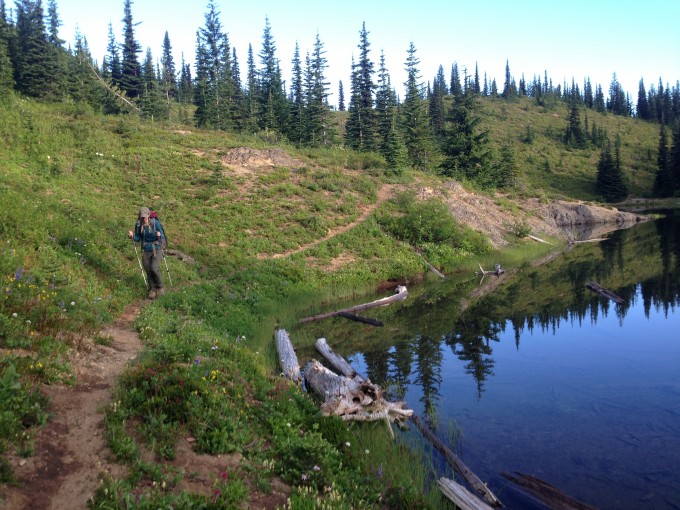
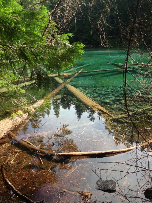
We went down for a very long time today, leaving the incredible views behind and trading them in for old forests with crystal clear, blue/green lakes. We came upon Lost Lake first and were wowed by the beauty of the area. There are a couple of campsites around this lake and a few campers were scattered around the lake. Other trip reports mentioned how bad the bugs were around Lost Lake, but we didn’t experience particularly bad bugs as we stopped for a quick rest and a snack here before continuing on.
Quinn Lake was the next lake we came upon, smaller and more secluded than Lost Lake, a few campsites are also located here but nobody was camped here. The beautiful waters, upon closer inspection were completely covered with bugs, possibly why nobody was camped here.
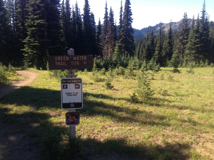
We came to our first trail junction after 5 miles and were now at 3000 feet. We took the right fork at the junction to head southeast on trail #1176 for 2.5 miles.
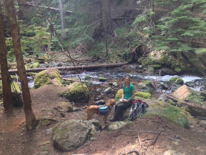
From this point on we saw many more hikers than we had during our first section on the trail. Trail #1176 is also known as the Greenwater Trail and is a popular trail for day hikers and backpackers alike. It’s trailhead is located 3.1 miles from the junction we turned at. Shortly after the trail junction we came upon a river crossing with a campsite and stopped for a snack and a break.
We met up with two day hikers who were training to do the loop we were doing. We continued on and stopped at the next trail junction (3500 feet) for lunch. At this junction we took the right fork to continue along the Greenwater trail. The left fork is trail #1186 that connects with the Pacific Crest Trail 5 miles away. We had 1.8 miles left in our day until we reached Echo Lake, where we would be camping for the night.
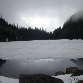
Echo Lake’s (elevation 3900 feet) clear blue waters shimmered through the trees like a welcoming beacon as we finished off our long day on the trail. Many other backpackers had passed us throughout the day, and a day hiker informed us that the campsites looked pretty full around the lake. Hopefully we would be able to find a site. The lake was busy with many groups camping along it’s shores. We found one open site after 30 minutes of looking but it wasn’t great. We would’ve been sandwiched in between two other groups, one of which was comprised of smokers. I stayed in the site to claim it in case we were unable to find another site and Bobby set off around the lake in search of a more desirable site. He was gone almost 45 minutes and came back with reports of three open sites along the other side of the lake that were much better, and more private. Many of the sites around Echo Lake are located directly on the trail, so there isn’t much in the way of privacy. We hiked the 15 minutes to the other site and were glad we did. This site was located just far enough off the trail that we could hear other hikers pass but they weren’t tromping through our site. We did have several fishermen come through looking for a good spot to fish. The site didn’t have water access exactly… If you climbed over several downed, large trees and followed a short social trail you were at the waters edge.
We had hoped to swim to cool off after a long day on the trail but the muck on the side of the lake was pretty gross to wade through and the water was freezing! We soaked our tired feet until they went numb from the cold and then headed back to our site. We needed water, the long hot day on the trail had us draining our dromedary bags. We hiked to the stream located about 1/4 of a mile away in our campsite flip-flops to filter some water. We returned to the site and set up the tent and climbed in to escape the bugs and enjoy a brief afternoon nap.
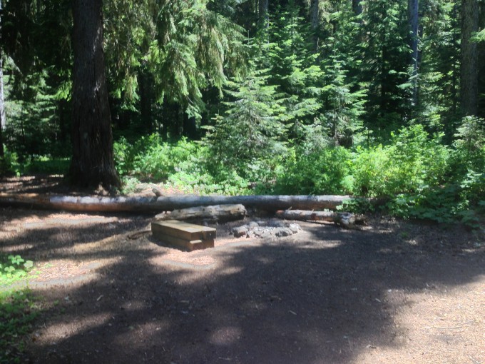
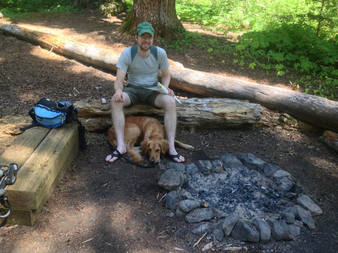
This is clearly a popular spot for camping, as we napped more backpackers entered our site in the hopes of finding an open site. There are several pit toilets located around the lake, we saw three, that keep the hot spot for camping cleaner than we expected. Just be sure to bring your own teepee! Many of the campsites had nice sized logs around the fire rings for sitting which was really nice and the fire rings were pretty clean. Overall this is a great spot for camping as long as you don’t mind having people walk through your site with some regularity.
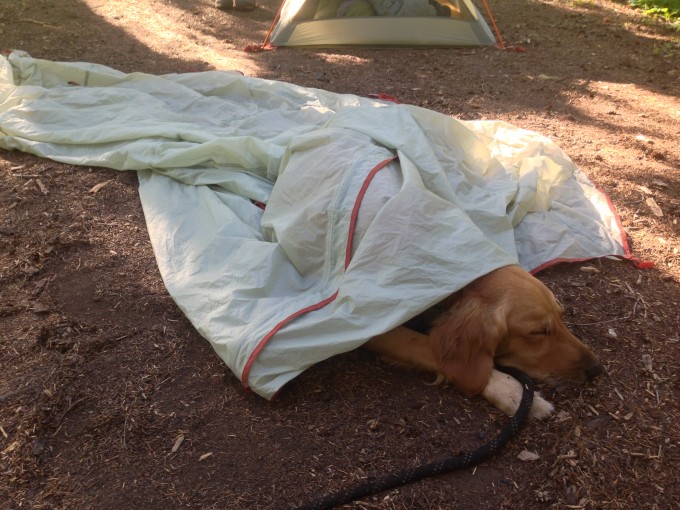
After our nap, we gathered firewood and started a fire. The bugs here were pretty intense and I was glad I had brought along our newly purchased bottle of bug repellent. If only we could spray it on poor Latigo who is so bothered by the bugs. All he wanted to do was continue to sleep after his big day on the trail but the bugs wouldn’t give him a moments rest. We decided to see how he would handle having the rainfly from the tent draped over him like a blanket to protect him from the nasty bites. He welcomed the drape gladly and slept soundly for over an hour as we tended to the fire and looked over our Green Trails Map #239 to see what the following days hike would be like.
We heated up water for dinner, freeze-dried chicken teriyaki with rice that we wrapped in what remained of our tortillas. We fed and watered Latigo, put our bear canister a ways away from our tent and crawled into our sleeping bags. It was only 8:00 and still light out. We decided to risk using the battery on my iPhone and read aloud from a book we’ve been reading aloud together during the camping trips we’ve taken thus far this year. We read until our eyes couldn’t stay open any longer and fell into a much more sound sleep than the previous evening. We had discussed trying to get on the trail early the following morning.
I awoke at 5:00 but it was too early I fell back to sleep and awoke 1/2 an hour later but Bobby was still sleeping peacefully. I decided to wait another 1/2 an hour before getting up. It was chilly, so I called Latigo up from the bottom of the tent to sleep in-between Bobby and I for the additional warmth. He rested his head on my stomach and warmed me up as he softly snored for the next 1/2 hour. We arose a little after 6:00 and were sort of excited and sort of dreading the 9.2 miles we had to do that day. We were sore from the previous day and also knew that we would have to ascend close to 2000 feet in elevation that day. We supped on cold granola and blueberries before hitting the trail. We had used a lot water the previous evening and my dromedary bag wasn’t as full as I would’ve like for a 9+ mile day on the trail so we stopped at the stream on our way back to the trail and refilled my bag. Thankfully, the group camping next to the stream was already up and we didn’t have to worry about being quiet. We hit the trail and were soon huffing and puffing as we began our first 3 miles, continuing along the Greenwater Trail. In those first 3 miles we gained 1200 feet of elevation gain and our calves were feeling the strain. We commented on how we were grateful to be doing the uphill portions of the trail on our last day when our packs were at their lightest, seeing as we had eaten the majority of our food. For me, it was a little rough because I was having a hungry day and no matter how many snacks I consumed it wouldn’t sate the rumblings of my tummy. This made me somewhat more crabby than usual while backpacking and poor Bobby had to suffer the consequences. That first three miles felt like it took an eternity and when we finally reached our first trail junction of the day it was with a great sigh of relief. We took the right fork for 1.1 miles into the Corral Pass Campground. We arrived to the closed camping area and took the abandoned area as a sign that we needed a break.
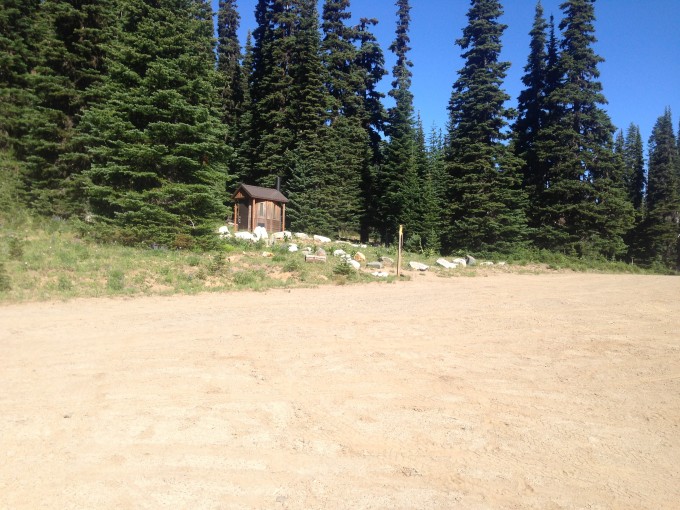
There was a pit toilet that was a welcome site after two days without that much privacy.
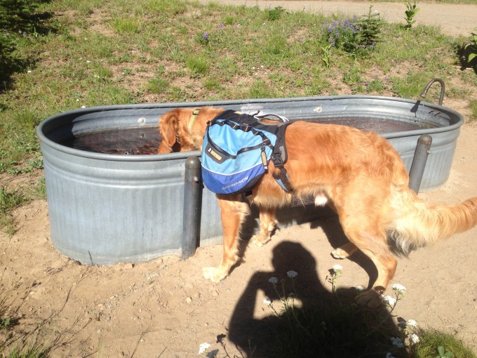
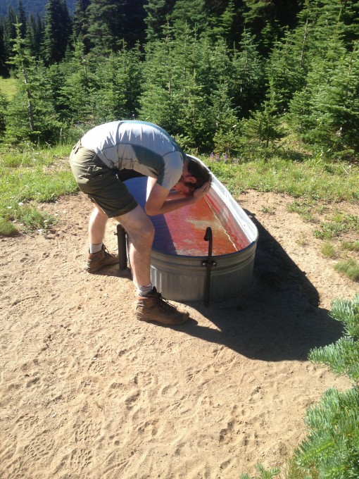
I lazed on a picnic table and we both used the water trough, meant to water the horses that could camp here, to rinse our faces of the two day trail grime that had built up. While Latigo used the trough just as the horses would!
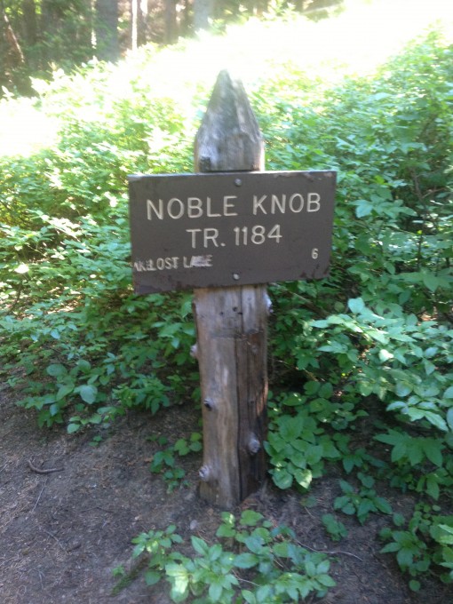
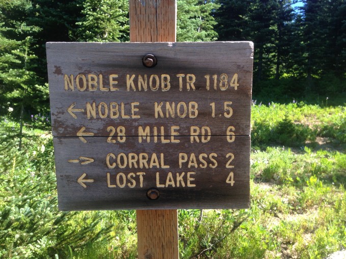
We continued along Forest Road #7174 for a short time, until joining up with the Noble Knob trail or Trail #1184.
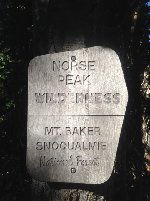
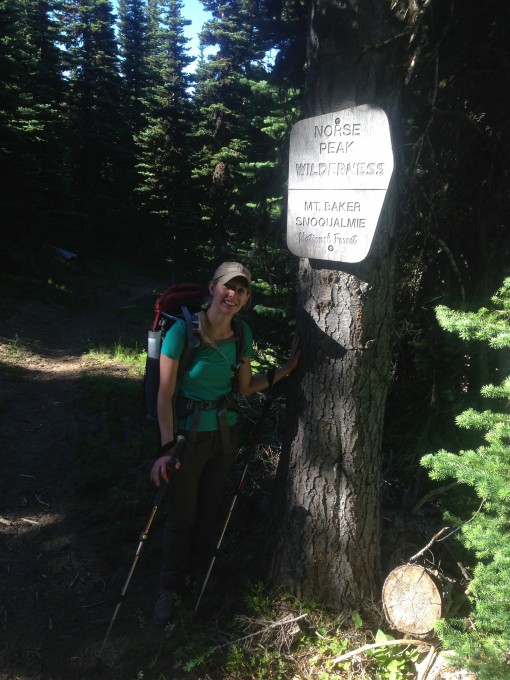
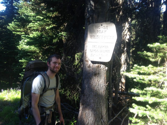
Here we encountered a large group of mountain bikers. We had spent the majority of our weekend trip in the Norse Peak Wilderness, this section of trail however, was in the Mount Baker Snoqualmie National Forests and the trail we were on was shared usage with Mountain Bikers and Horses.
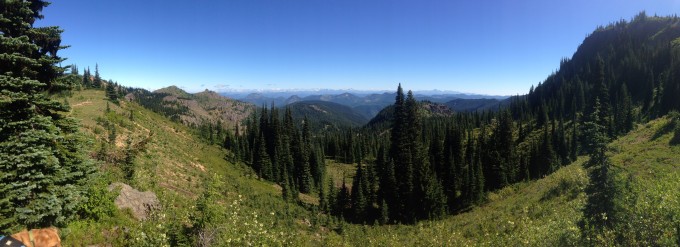
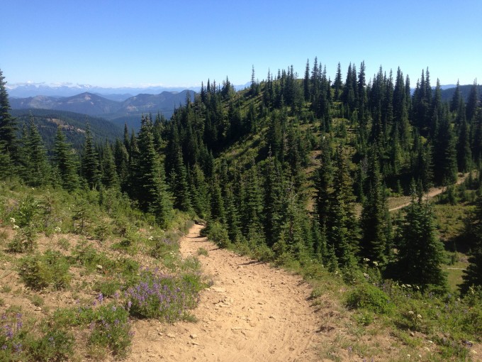
The views along this section of trail were amazing and we were so grateful that we were lucky enough to have three perfectly clear days for this incredible hike!
This section of trail was also very mountainous. It was a skinny track on a steep incline that, at times, made me nervous. The group of mountain bikers, thankfully passed us on a section of trail that had extra space and we were able to move to one side and out of the way. We reached the next trail junction at 1.4 miles, but not before having to endure a grueling small portion of the trail that was basically vertical, haven’t they ever heard of switchbacks?!?
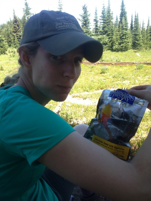
We continued along for the next 1.9 miles until the trail split to either take the .4 mile spur trail up to to Noble Knob or continue on along trail. We stopped at a nearby campsite to begin lunch preparations. It was only 11:00 but we were hungry and our snack supply was running low. The lunch we had for that day was freeze-dried pasta salad with vegetables and it took 30 minutes of soaking in cold water before being eaten. We filled it with the necessary amount of water, split the last granola bar we had and continued on the trail.
This is the point of the trail that we realized we hadn’t gone to Noble Knob the previous day. We could see the large group of mountain bikers sitting atop the real Noble Knob. We had summited the slightly shorter, more rocky, peak next to it.
We decided that summitting the real peak wasn’t worth it considering how tired we were, instead we made our way back to the first trail junction we had met on our first day that was about a mile away.
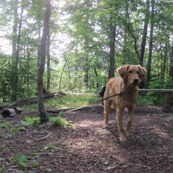
We met several day hikers and one group of backpackers along this portion of the trail and stopped to chat with each. They all had off leash dogs with them and we warned them of the mountain bikers ahead, we had put Latigo on leash because of them. We were soon back in the meadow we had been in on our first night and stopped to sit on a log in the shade of a tree to enjoy the lunch that had been soaking for the last 30 minutes.
We gobbled up the meal and took the 2 mile trail that descended steeply away from the mountains, back into the trees, and eventually back to the car.
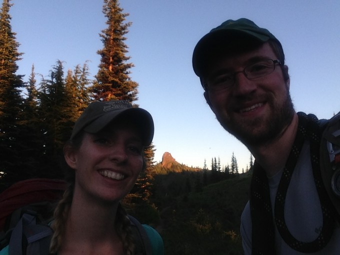
This was one of the most amazing trips we have ever done together. The views, the challenge, the beautiful wildflowers, and the pleasure of each others company made this a trip we won’t soon forget. I would highly recommend this loop to any backpacker looking for a challenge that will be rewarded with some of the most amazing views we have yet to see in the Cascades.










Pingback: BearVault Solo | Always Seeking Adventure
You really should keep your dog on a leash while hiking. Seriously, if your dog doesn’t listen to your verbal commands, they need to be tethered. If I had been on the trail with my dog aggressive dog (who is always on a leash) it could have ended poorly for your cute golden retriever.