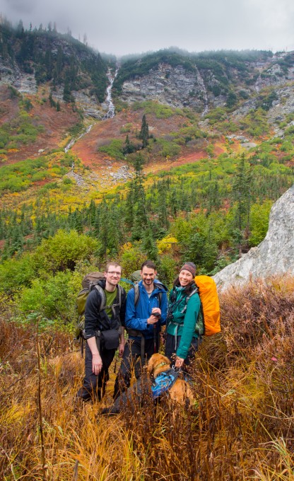
Maura and Jack were visiting family in Minnesota for the weekend so I planned a backpacking trip with my friends Marie and Jesse. After seeing the incredible photos our friend Kelly took from Phelps Basin a couple of weeks prior we knew exactly where we wanted to go. At 13 miles round trip (6 miles out to Spider Meadows and another half mile to Phelps Basin) and only 1900 feet of elevation gain, Phelps Basin is a low-key overnight destination. It’s also a jumping off point to an awesome loop hike and a number of scrambles to nearby summits. But with limited time (I needed to pick up Maura from the airport Sunday at 4pm) and a questionable forecast we had to settle for a quick overnight at the basin.
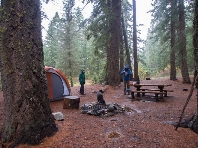
Our plan was to leave Seattle at 4pm Friday and sleep at Alpine Meadows campground just a few miles before the Phelps Creek trailhead. Unfortunately, our weekend got off to a slow start. Traffic bogged us down and resulted in what should’ve been a 3.5 hour drive becoming a 7 hour crawl. In the darkness we traveled along the Chiwawa River Road to find that all of the campground signs had been taken down for the winter. Since we didn’t know which campground was which we pulled over at the first one with an appealing spot. Fortunately for us we ended up spending the night at Rock Creek Campground and we had the whole place to ourselves. In the summer I can imagine it not being the greatest campsite since there is no privacy between sites and the ground is covered with blasted clay pigeons – but here in the lonely, foggy fall it was quite wonderful. The three of us set up our enormous REI Kingdom 4 in the light rain. It was the tent’s second ever use and I was impressed with how fast we were able to set it up in the dark. We crawled in with our two dogs and called it a night.
The forecast for the trailhead on Saturday called for a 50% chance of light rain until 11am and then partly cloudy skies. I had been checking the forecast religiously all week to make sure we weren’t just going to spend the entire weekend in the rain. It rained all night which made getting out of the tent into the damp air difficult in the morning. As we ate our breakfasts and struck camp the rain continued to fall and we kept watching the time waiting for 11am to roll around and for the rain to suddenly stop. After throwing the wet tent into the topper on our truck we headed up the road to the trailhead.
There was a bit of time to kill before the 11am rain stop so we made a quick tour to the nearby Trinity Trailhead. Trinity is a former mining town with some buildings remaining so we were hoping to be able to see a bit of a ghost town. Unbeknownst to us, the town is privately owned so we weren’t able to visit it. We turned around and finished the final very rough miles to the trailhead for our hike and were astonished by the number of cars at the trailhead. The hiking guides online all discussed how popular this hike was but we figured no one else was silly enough to do it on a rainy weekend in mid-October. By the time we returned on Sunday the trailhead was overflowing and people were parking along the road.
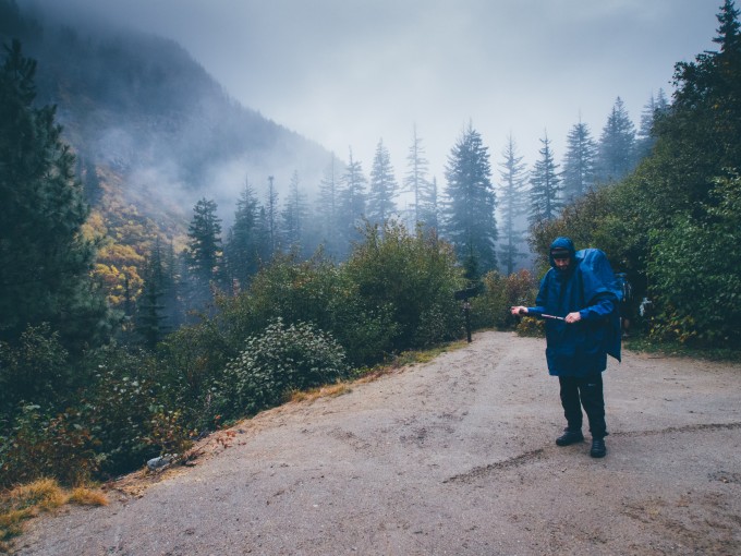
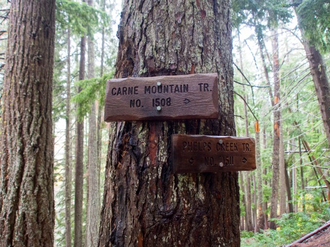
The Phelps Creek trail to Phelps Basin is relatively straightforward. You just follow the trail along the creek until Spider Meadow at 6 miles – head through the meadow and then take a right at the fork signed for Phelps Basin. Along the way you’ll pass a couple of other trails that branch off and lead to various alpine destinations as well as a few creeks. The first junction is to Carne Mountain. This was one of the hikes we had considered doing for the weekend but decided against due to the cloud cover. As we hiked through the rain and the 11am rain deadline passed we were quite proud of our decision to stick with the meadows and basin.
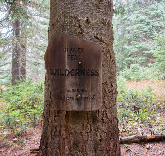
At 2.6 miles you enter the Glacier Peak Wilderness. This was my first time in this particular wilderness. Entering a new wilderness area is always exciting for me! I was bummed I didn’t get to share it with Maura and Jack.
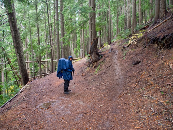
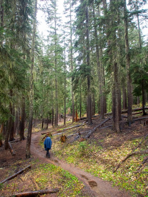
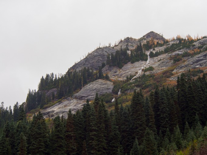
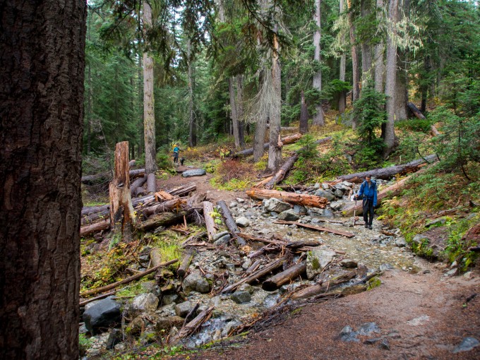
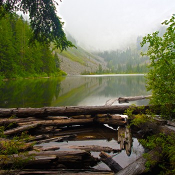
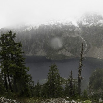
As we continued along the trail gently climbs and rambles amongst the trees. It skirts close to the creek and at times rises high above it and then moments later the creek is right next to you again. Shrouded in the fog we couldn’t see much of the neighboring Phelps Ridge but every once in a while a little pocket would open in the clouds giving us a window into the towering cliffs.
We were all getting hungry but I knew we were close to Spider Meadow. When I’m hiking Maura always needs to remind me to eat otherwise I push myself to exhaustion because I want to get to our destination. Without her there to balance me we all went further into hunger than we wanted to. Luckily, Marie encouraged us to take a break and we stopped on the trailside to eat some food. Once we were back on the trail we were much more energized and we came upon Spider Meadow shortly thereafter along with a break in the clouds!
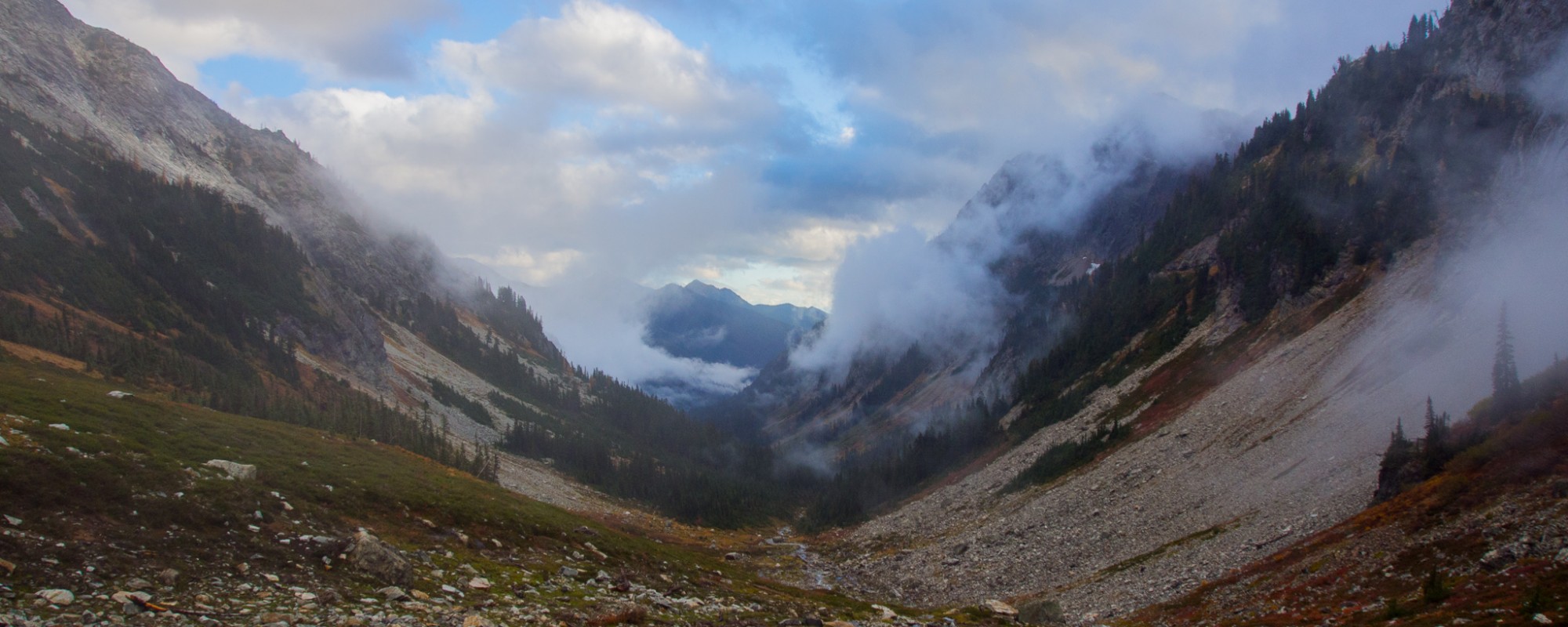
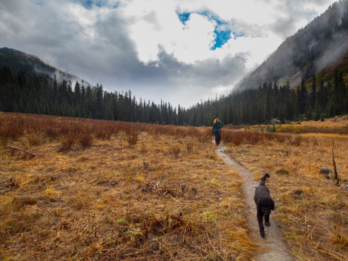
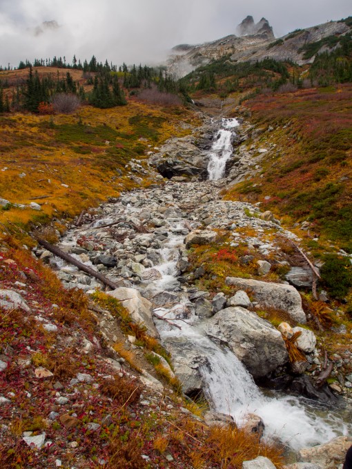
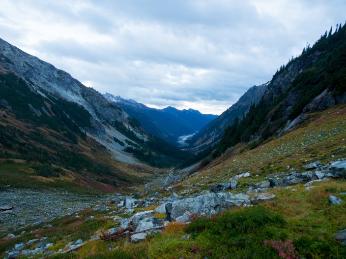
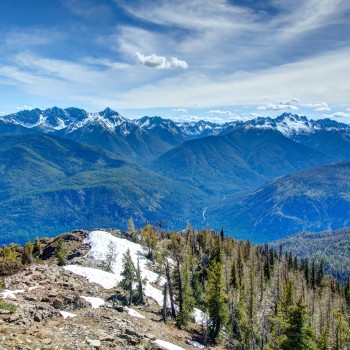
Spider Meadow took our breath away. Waterfalls cascaded down the surrounding peaks towering over the glacially carved valley. The moody clouds made the scene even more epic as we hiked through towards Phelps Basin. We passed a number of campsites as well as a toilet. There’s a nice sign at the head of the meadow explaining where all of the nearby campsites and facilities are. There are also a number of stock campsites that keep the horses away from the backpackers.
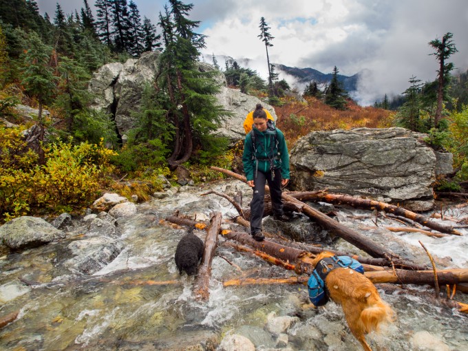
After passing through the flat meadow the trail begins to climb steeper than it had for the first 6 miles but it still wasn’t too steep. We passed through a grove of trees and then crossed Phelps Creek. This was our trickiest creek crossing but with some careful balance we all crossed through it dry.
After crossing the creek, the trail headed up to a Y. Going left takes you to Spider Gap whereas going right takes you to Phelps Basin. We headed right and after a short half mile we were in the center of the basin with our jaws dropped. I was giddy with excitement over the beautiful place we were going to spend the night. Plus we were the only people in the basin so we had our pick of campsites. We picked a nice spot big enough for our tents with a nice cooking area on a pair of large boulders and set up camp.
After we got our tents set up a couple came walking up the trail and set up camp at one of the other camp sites. Funny enough, they came over to say hi and warn us that they’d be crossing through early in the morning on their way to climb Dumbell Mountain and it turns out Marie knew one of them through work!
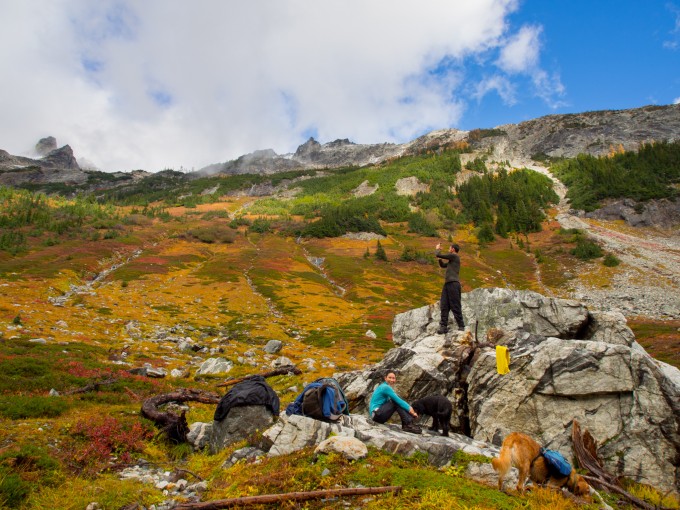
After camp was set up, Jesse and I headed up the basin to do some exploring. We had originally wanted to climb to Spider Gap to try and get a glimpse of Glacier Peak or of Lyman Glacier but it was too late in the day for that. On my topo I reasoned that we could find a route through Phelps Basin and connect to Spider Gap directly so we headed across the sprawling meadows to see how far we could get before dark.
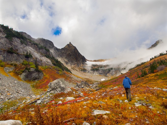
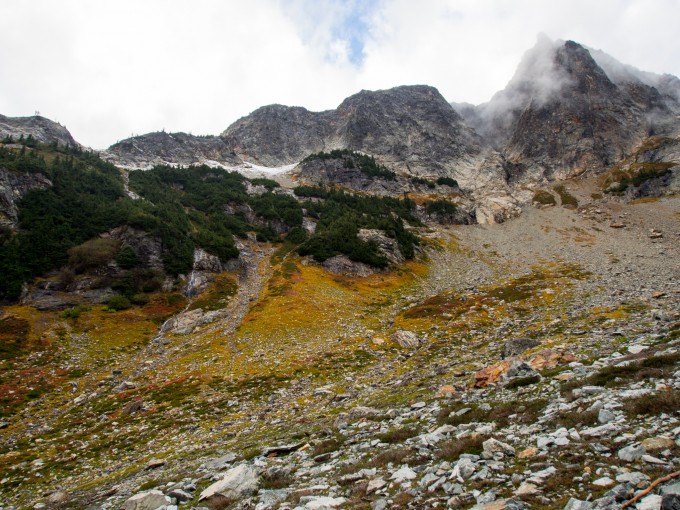
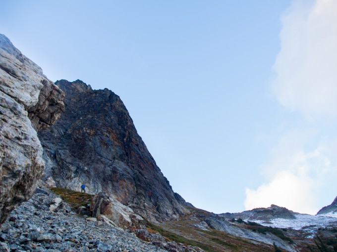
Heading up the basin with Jesse. Our objective was the base below that pointy summit and to then cut to the left.
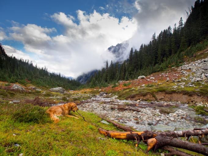
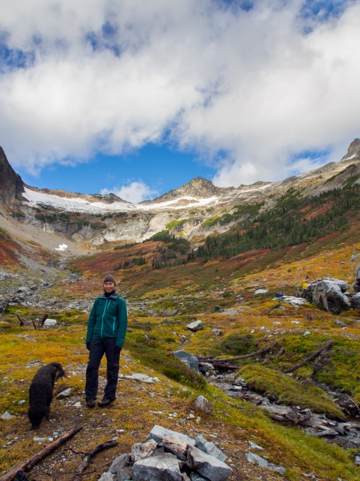
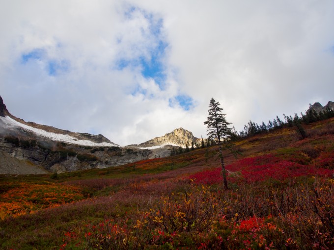
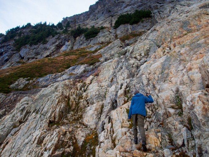
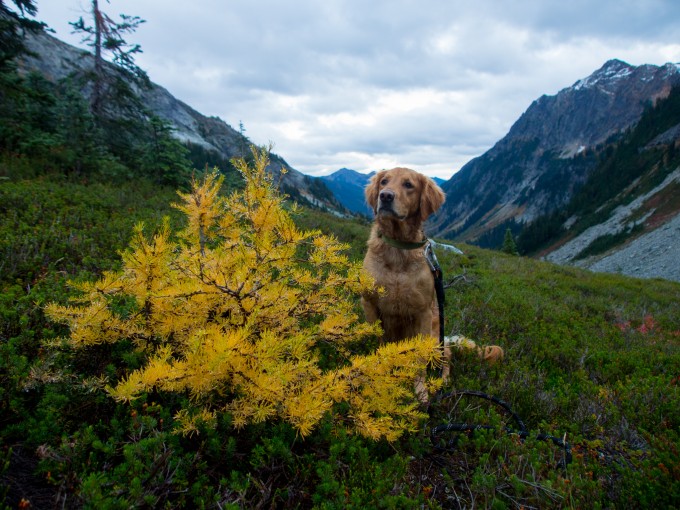
On the way up we passed beautiful fall colors and some tiny yellow larches. As we got closer to the cliffs that lined the basin the ground got steeper and we entered a huge talus field. Route finding was quite interesting and we navigated between some loose talus that would send rocks flying down the mountain-side. We quickly learned the areas to avoid and eventually found ourselves at the base of some cliffs. I had brought Latigo along and he had done well but I eventually had to call it a day since it got too steep for him. Jesse went up a bit higher to get a peek of what was to come. Our conclusion is that there’s definitely a route to Spider Gap this way. It would require a little bit of scrambling but nothing too bad (as long as you’re not a dog). The sun was beginning to set so we headed back down taking copious amounts of pictures on our way.
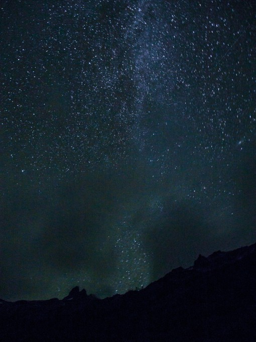
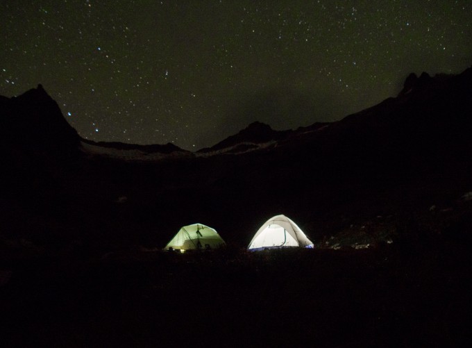
Reunited with Marie at our campsite we ate dinner in the dark and watched the stars emerge as the clouds dissipated. All of the constellations were out and the Milky Way was streaming across the sky. We all crawled into our mummy bags and tried our best to stay warm through the night. We were all pretty soaked from the nonstop rain during the day but I was comfortable enough and thankful for the extra dry clothes I had lugged along.
Since I had to pick up Maura at the airport the next day we all had to get up early Sunday. It’s never easy to wake up while it’s still dark out – especially when you’re warm and toasty in your sleeping bag! We packed up as quickly as we could and headed back down the trail. Sorry Jesse and Marie for rushing us out of there so fast!
As we hurried back to the trailhead I made a stupid mistake. We were all hiking at our own paces and we would stop every so often to regroup. I was in front and marched right past the trail junction to Leroy Creek. Instead of waiting for everyone to meet up I crossed Leroy Creek and pushed on about another mile. Eventually Jesse and I stopped and waited by the Glacier Peak Wilderness sign. After a few minutes Marie hadn’t shown up yet and I started to get worried. Usually she was right behind us. I took off my pack and told Jesse I would run up the trail to find her to make sure everything was okay. As I headed up the trail I got more and more concerned around each bend that she didn’t appear. Running faster now I started shouting her name and getting pretty freaked out. I couldn’t believe we left her behind like that. Finally I saw her and I was so relieved. She had gotten to the trail junction by the creek and wasn’t sure which way to go. After she headed down the trail for a half mile and didn’t see us she figured she had gone the wrong way. Luckily it all worked out in the end and we found each other but it was a stressful 30 minutes that could’ve been easily avoided by sticking together. Lesson learned. Sorry again, Marie!
We headed back to Seattle and got to the airport right in time to meet Maura as she got off her plane. Thanks to Marie and Jesse for adventuring and sharing such a wonderful place with me. If you haven’t been to Phelps Basin start planning a trip now! And do better than us and spend more time there!
Pingback: Heliotrope Ridge | Always Seeking Adventure
Just saw this post now, love the super wide angle shots!
Thanks, Kelly! Hopefully I’ll get our photos from Summit Lake and Ingalls Lake up soon!