There are some hikes that you continually hear about when you talk to other hikers in Washington. Having recently joined the new Washington Hikers and Climbers group on Facebook and seeing repeated posts about the hike I figured it was time to see what all the fuss is about.
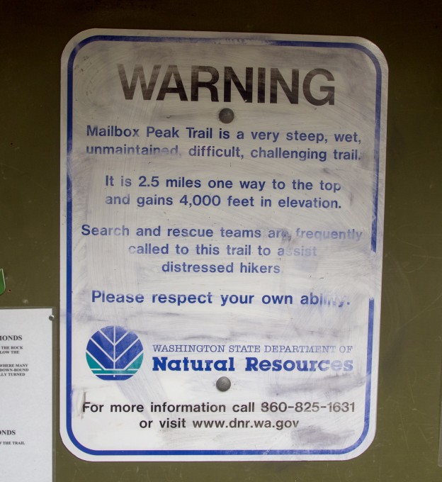
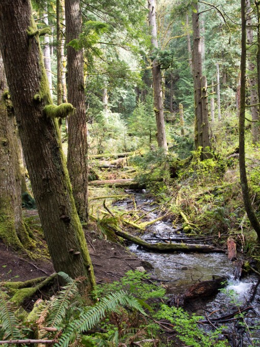
The Mailbox Peak trail is known for its difficulty. And rightfully so, it gains 4,000 feet in just 2.5 miles. At the trailhead you’ll find plenty of warning signs about the strenuous nature of the trail. The trail starts leisurely enough on an old forest road which leads to the beginning of the actual trail. You’ll pass the entrance to the new 5 mile long trail that is currently being finished. It’s blocked off and marked as closed – plus if you came to Mailbox Peak you probably came for the difficult route anyway. After leaving the decommissioned forest road the trail starts innocently enough passing some babbling brooks. The trail was really muddy due to recent rains but nothing some hiking boots couldn’t handle.
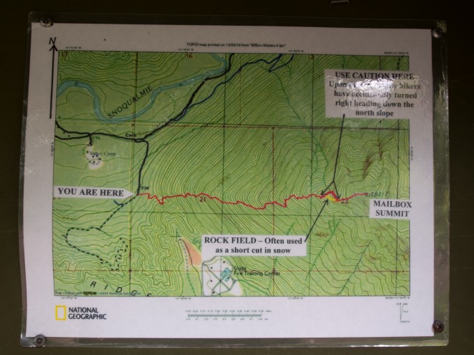
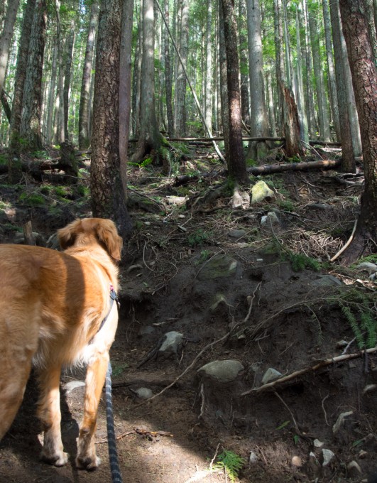
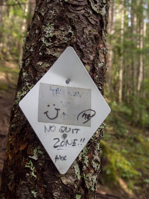
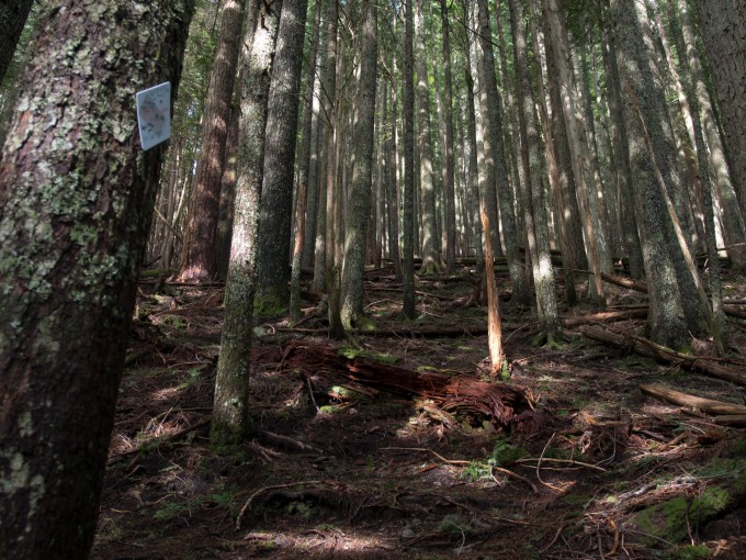
Soon the trail steps it up a notch and you’ll start steadily gaining elevation. Looking at the map you’ll see the trail goes straight up the western ridge of the mountain. There are a number of small switchbacks but several times throughout the trek you’ll find yourself just scrambling up tree branches as so many people have cut switchbacks that there isn’t a clear path forward. Keep your eyes out for the white trail markers that lead the general way up.
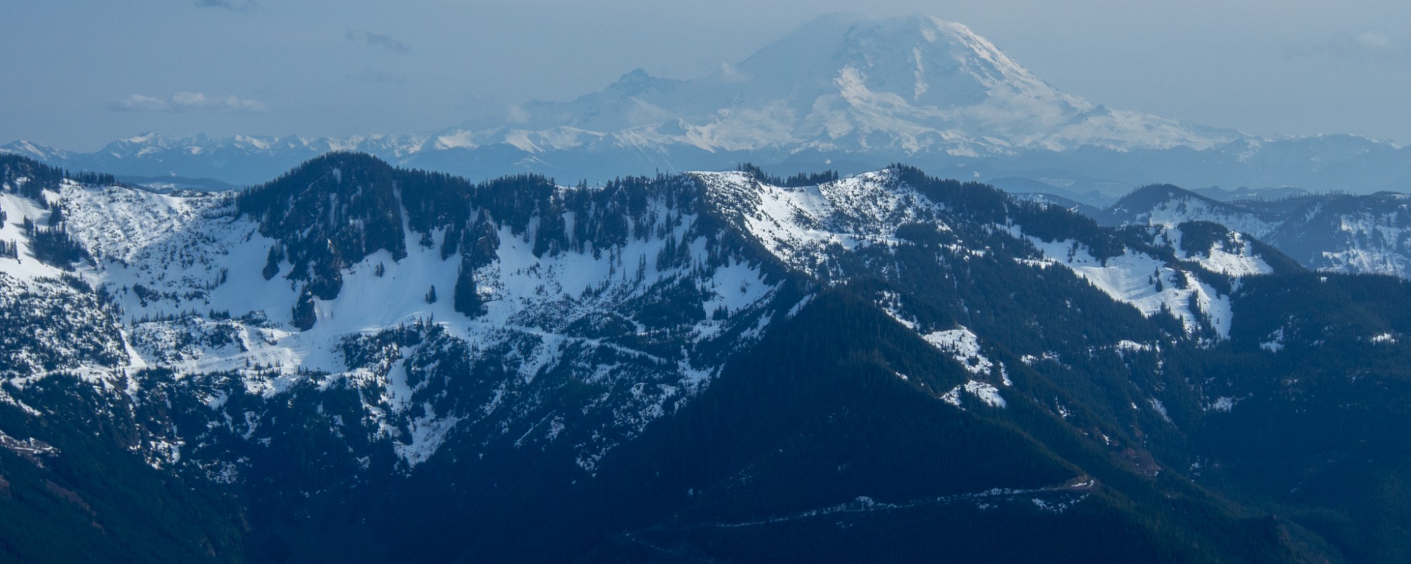
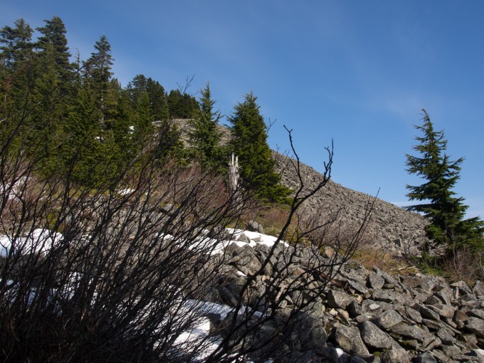
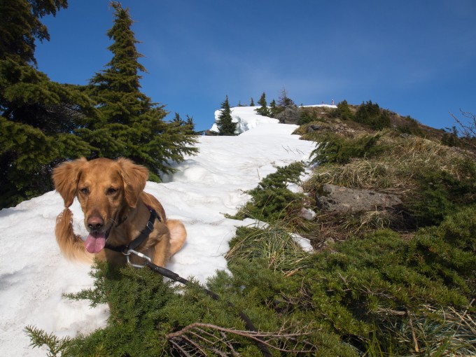
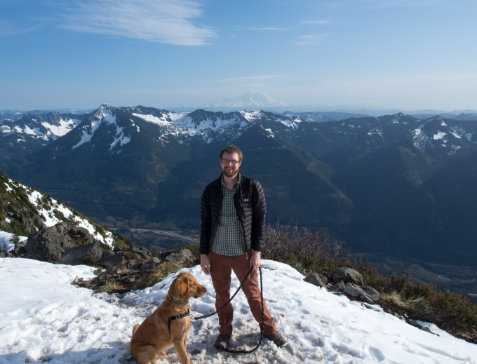
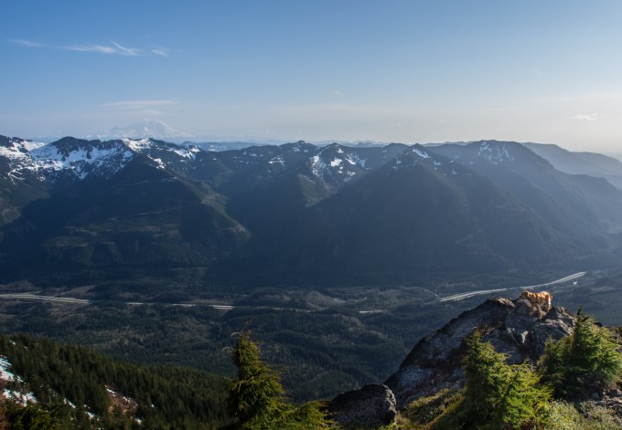
Eventually you’ll enter an area that burned years ago. There’s a noticeable shift in the age of the forest here and you’ll start to get some good views across the I-90 corridor. As you near the summit you’ll come across a large talus field. Some others were scrambling up the loose rocks but afterwards they said they would’ve rather gone around. I took the trail around the rocks and found it very icy and difficult to keep your footing. Unfortunately, I had left my micro spikes at home. In a week or two I imagine all of the ice will be gone from this part of the mountain.
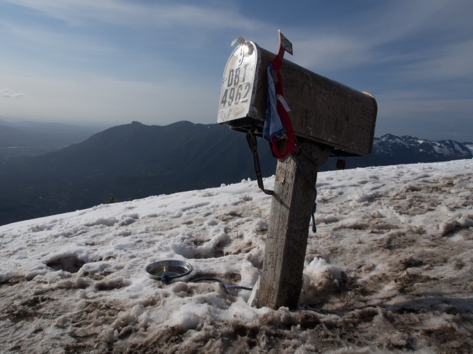
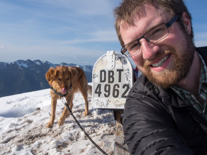
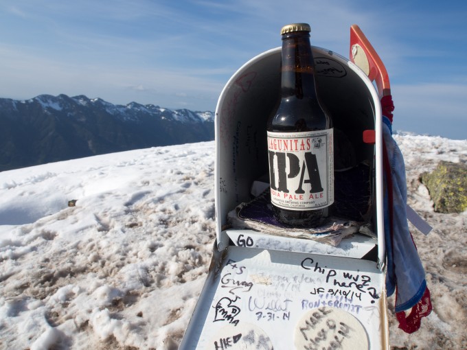
After getting past the initial talus field it’s then one last scramble up the open slope to the summit. At the top you’ll find the famous Mailbox. Inside I found a beer someone left as an Easter present. The summit logbook was soaking wet – I guess the mailbox isn’t waterproof!
I had made it up to the summit in just over 2 hours. My hike started late at 3pm and I passed a number of other parties who were on their way out as I made my way up. However, the crowds were never bad and everyone was very nice and had a good time saying hi to Latigo. I later read that the speed record is just over 50 minutes to the top. I can’t even imagine …
2 hours up seemed like a decent time for me and after eating a quick dinner and enjoying the views at the summit I decided to try and make it back to the car for a total roundtrip time of 4 hours (including breaks). I found that thinking this hike wasn’t so bad after making it to the top was very much an error. On the way down you definitely find out how steep the hike really is. Running proved to be the most efficient mode of descending and Latigo enjoyed weaving in and out of the trees with me. The muddy, eroded trail only tripped me twice on the way down leaving me with some muddy knees and elbows. I made it back to the car with a total time of 3hrs and 53 minutes.
My legs are definitely still feeling the burn. I’m glad to have done the hike but I don’t think I’ll be back. I can see the appeal for a conditioning hike but I hike for the solitude and the views. You can hear or see I-90 for most of the hike which destroys the solitude for me and I prefer the views from other nearby peaks that are a bit closer to the Cascade Crest. But I’m still proud to say that I’ve suffered through the hike up Mailbox Peak!
I’ve been reading your blog off and on for a while now (I found it because you hike with your dog a lot. I think I’ve even commented once or twice before). I can’t believe, with all the hiking you do, that you’ve never been up to Mailbox Peak. I just did it with my little dogs two weeks ago but it took my out-of-shape self 3.5 hours to get to the top!
Oh Mailbox. The first time I hiked it I couldn’t walk normally for days afterwards, I had to walk backwards to get down stairs! One of my favorite Mailbox memories was meeting an actual mailman in uniform at the top. 🙂
Pingback: Dog Friendly Trail: Mailbox Peak – Oops We Did It Again
Pingback: Mailbox Peak Night Hike | Always Seeking Adventure