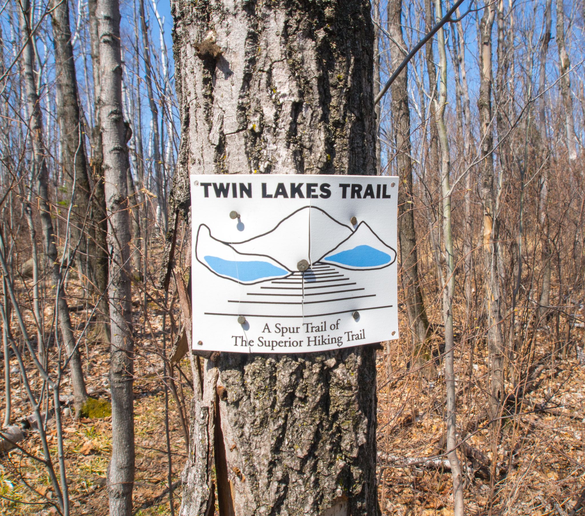
We were enjoying a weekend of camping on the North Shore of Minnesota and hiked on one of Minnesota’s most iconic trails, The Superior Hiking Trail (SHT). The SHT is 296 miles long going from Duluth, MN to the Canadian border. The section we planned on hiking is touted as one of the more challenging sections of the SHT because of the undulating trail but also one of the most beautiful sections because of the views you see as you climb up three ridges. The trail is also known as the Twin Lakes Trail. At 6.8 miles long with 1600 feet in elevation gain we were excited to have found a hike in MN that was a little bit challenging! After spending the last 3 years hiking in mountains we have definitely had to adjust our perception of what a difficult hike looks like in MN when compared to WA.
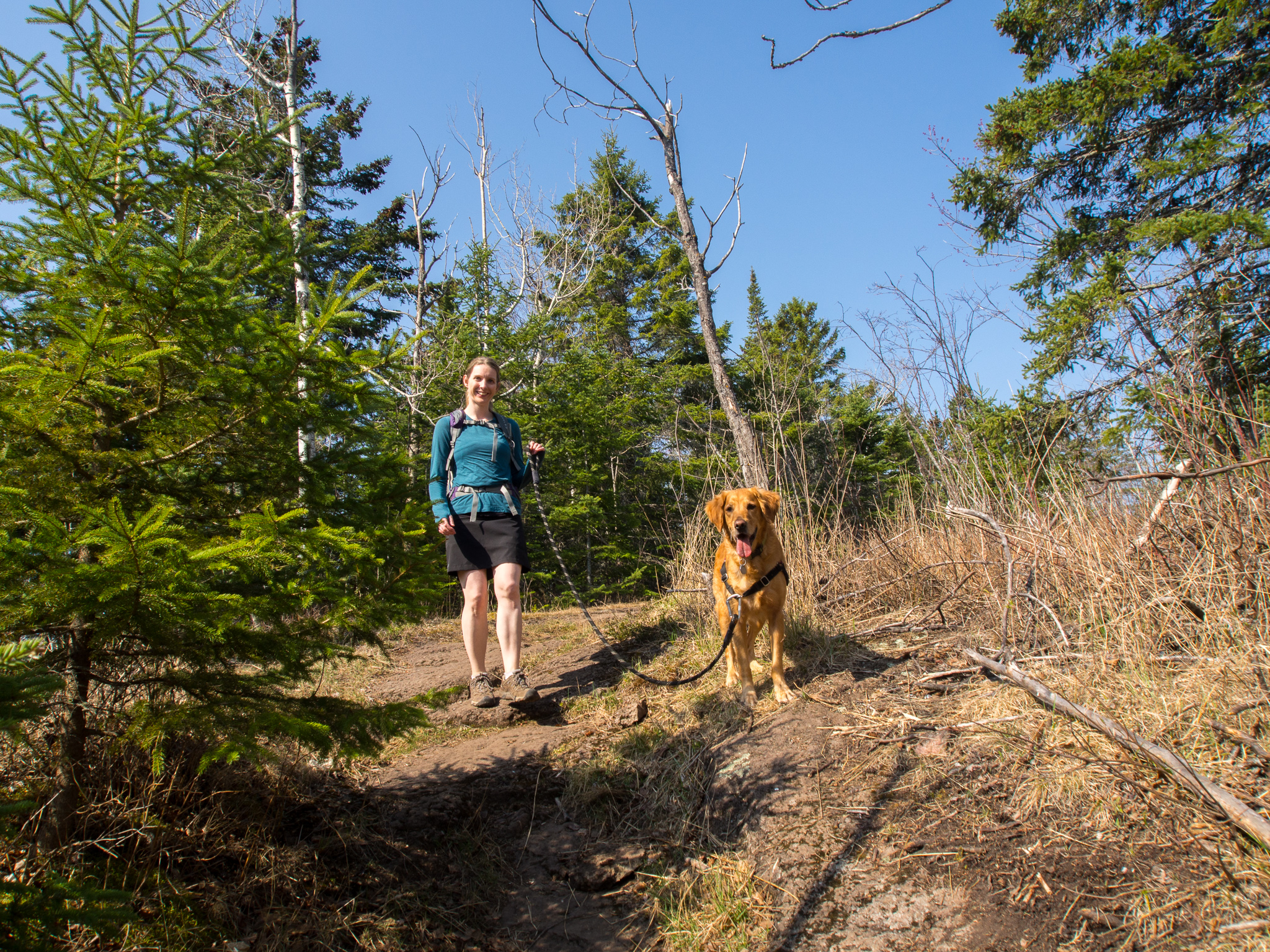
We arrived at the large parking area at the Penn Blvd. trailhead a bit after 10:00 a.m. after a night of camping at Jay Cooke State Park and geared up for the days hike!
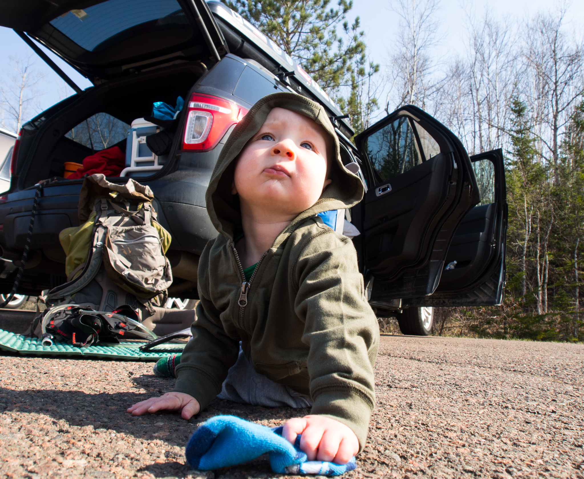
Jack has his sock and is ready for anything.
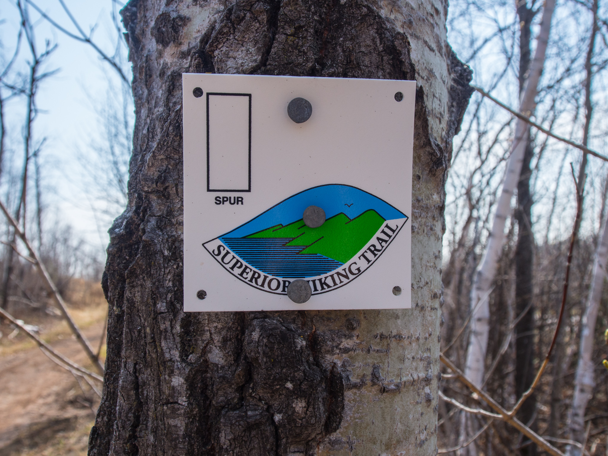
The parking lot had a dozen cars or so but there was still ample room for more! The trailhead also had a privy, garbage can, and some signage. Depart from the trailhead and begin to follow the blue signs. The spur trail that leads to the Twin Lakes Loop is about 1.8 miles long. You are on the SHT for this section of the trail so follow those signs. The trail is very well signed throughout and we never had any issue in navigating our way.
The trail begins climbing a rocky trail that passes under power lines and across two dirt roads that 4wheelers use. The trail is for foot traffic only and is signed accordingly. It felt so good to be back on a trail that was narrow, rocky, rooty, and felt more rural then anything we’ve hiked since our move back to MN. The day was hot and sunny and I was thankful for my OR hiking Skort and Jack’s Sun Hat!

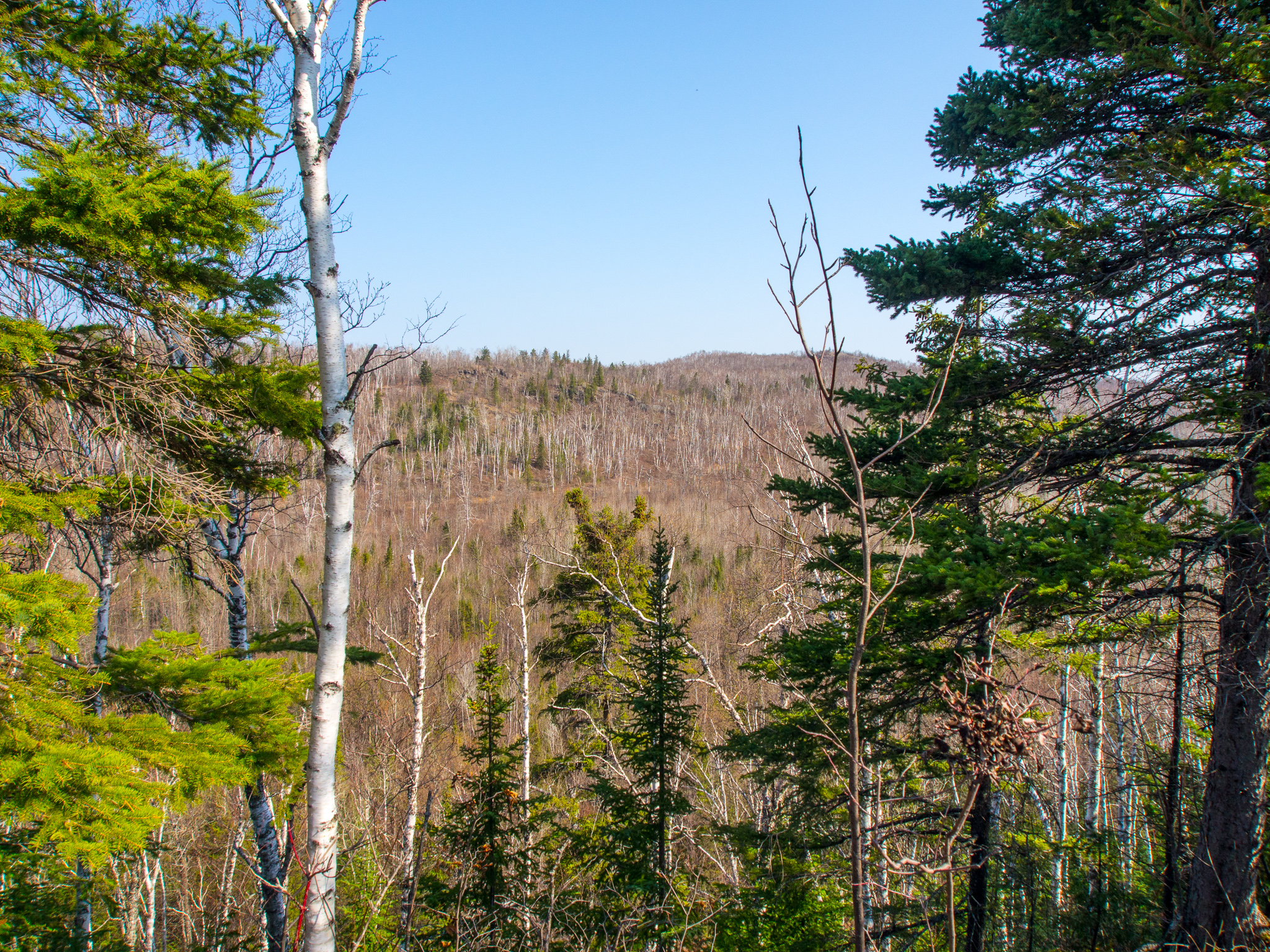
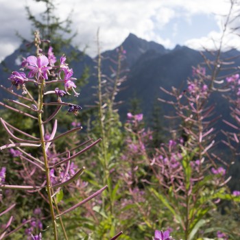
As you continue your ascent along the trail you are afforded some peekaboo views of the surrounding hills. This is just a teaser of what is to come later on along the trail.
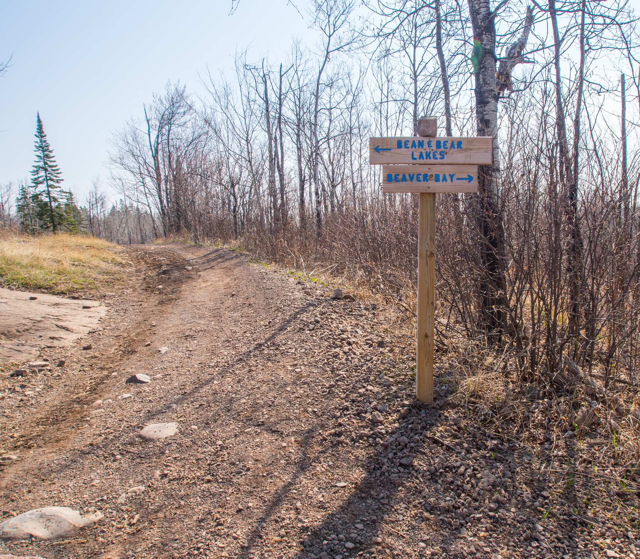
At 1.8 miles in you reach the first trail junction. We chose to go right completing the lower, Twin Lakes Trail section of the trail first that takes you through a picturesque forest. Many sections of the trail were muddy and weren’t nearly as well maintained as the SHT.
We took the short spur trail, Elam’s Knob, at 2.18 miles in and saw a very pretty view. The spur trail is very short and definitely worth the added effort!

Shortly after the spur trail for Elam’s Knob you reach a trail junction, go left to stay on the Twin Lakes Trail. To the right is the alternate start to the Twin Lakes Loop that departs from the city of Silver Bay. Starting from Silver Bay makes the loop slightly longer then the way we chose to go, starting from the Penn Blvd. trail head.
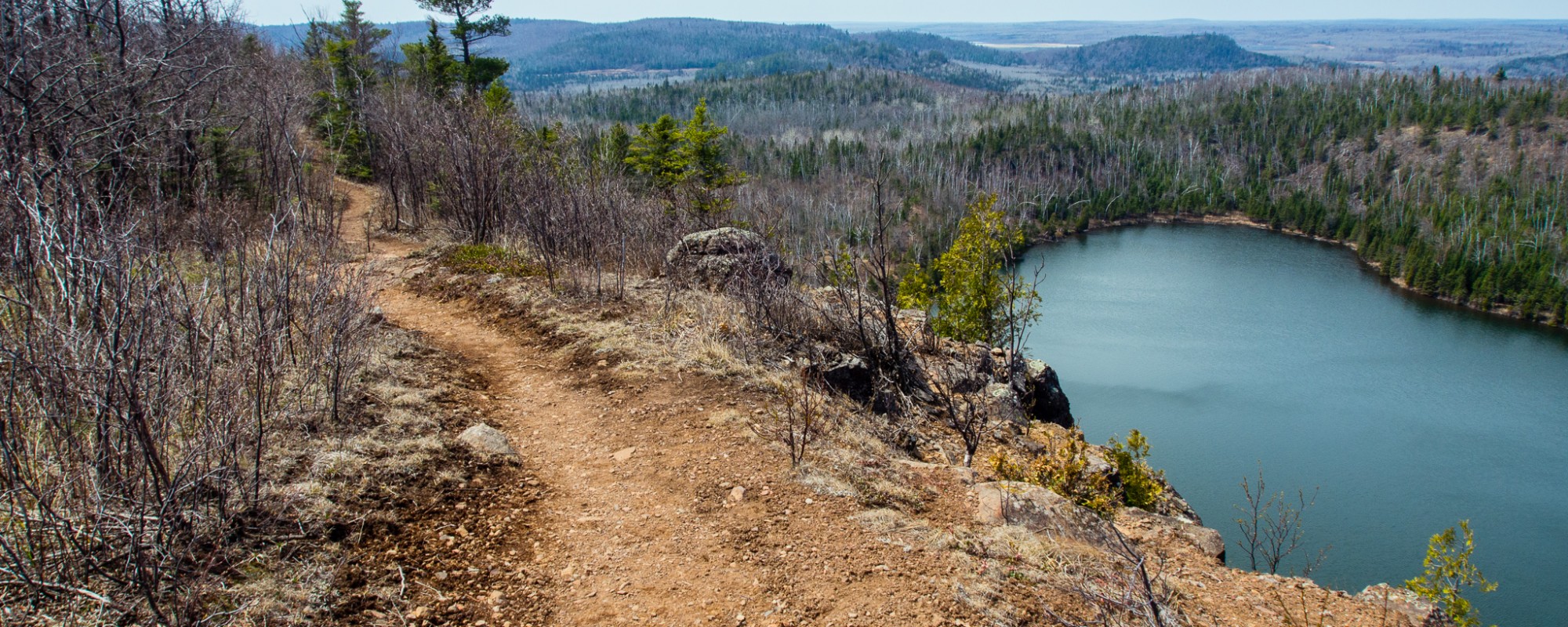
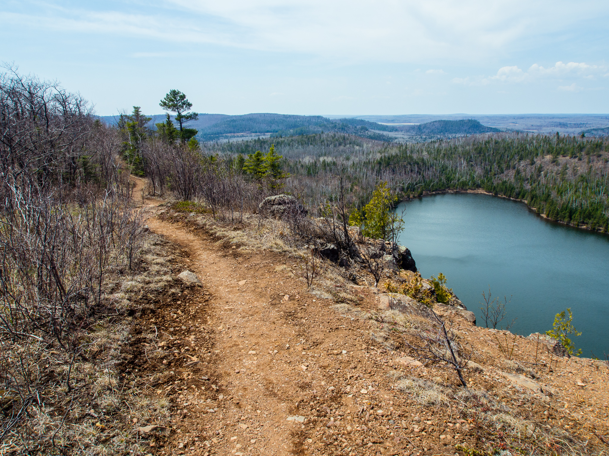
A further mile or so and you get your first view of Bear Lake from above. Here you reach another trail junction go left to continue your loop. You are now walking on the SHT once again.
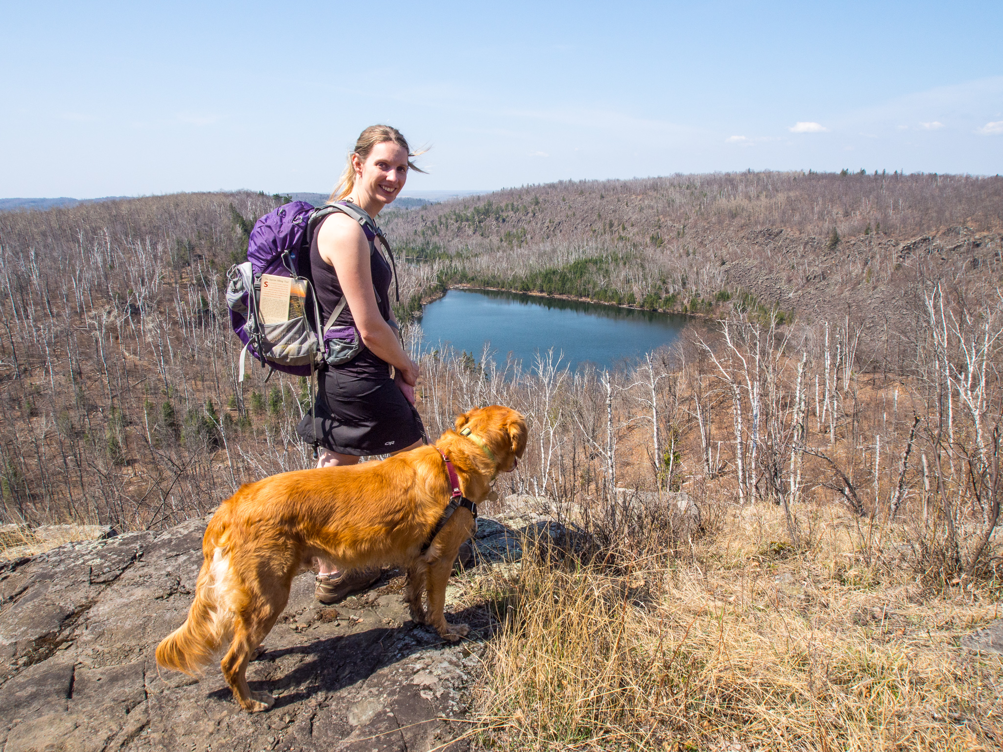
Bear Lake as seen from above on the ridge.
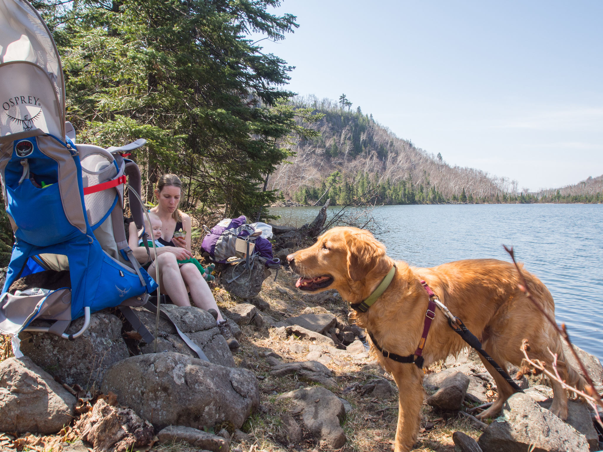
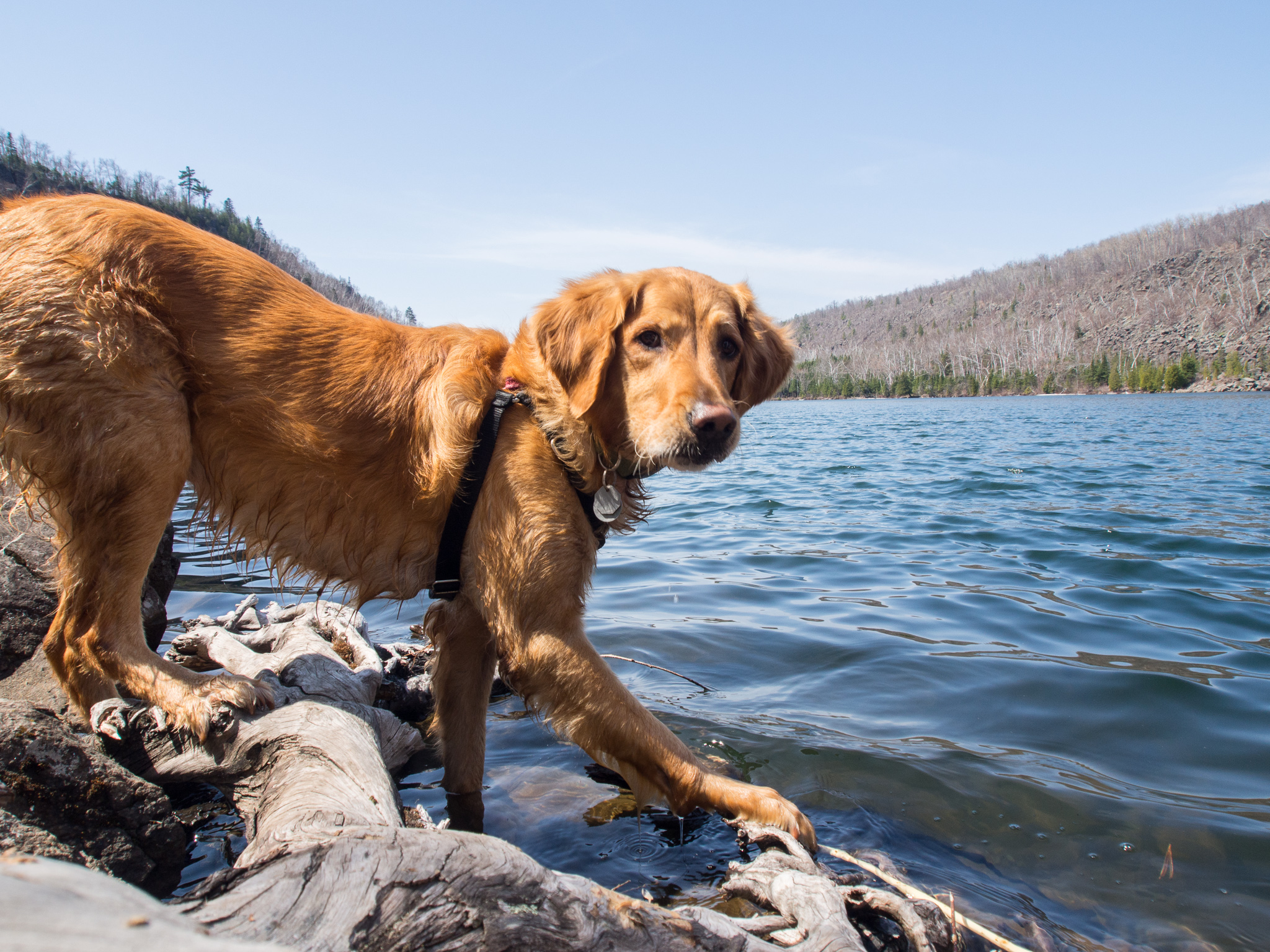
The trail winds down towards Bear Lake. We took the short spur trail that leads directly to the shores of the lake for a lunch break and a quick swim for Latigo! There is a campsite along the shore that has a one night maximum stay that was occupied by some backpackers.
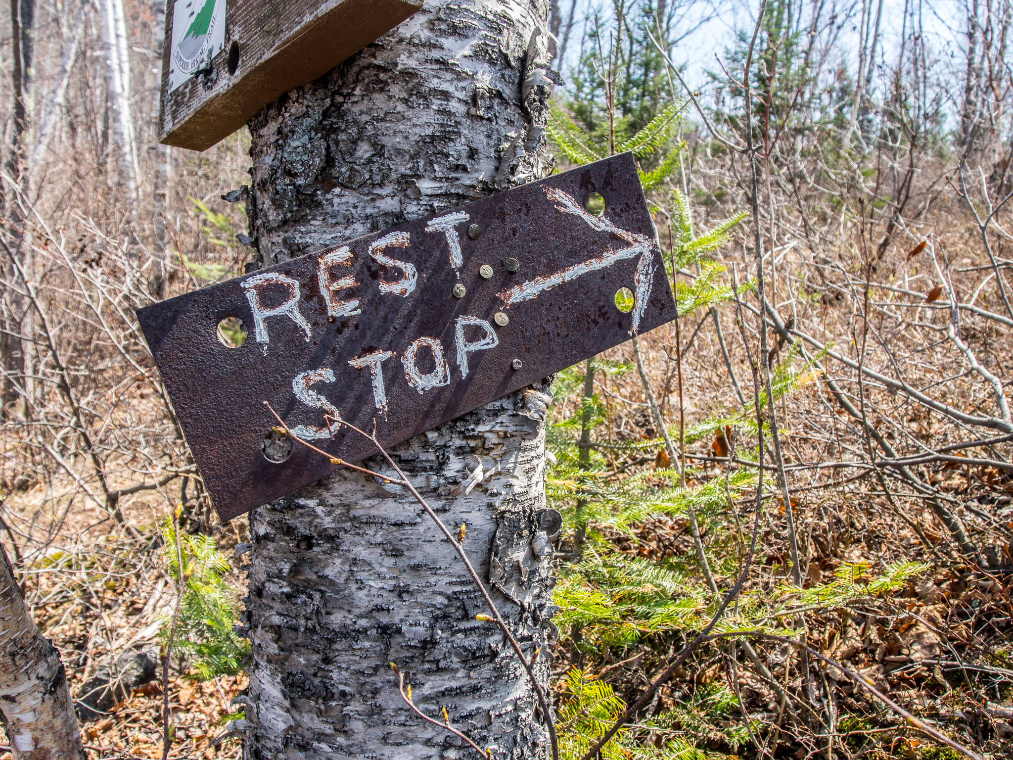
We made our way back up the spur trail and back onto the main SHT. There is another campsite just above the lake that has a “Rest Stop”. There is an open-air privy in the middle of a small cluster of trees giving you plenty of privacy!
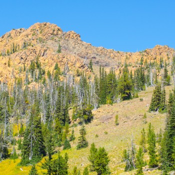
The trail leads you up to a stunning ridge walk.
Bean Lake seen from above
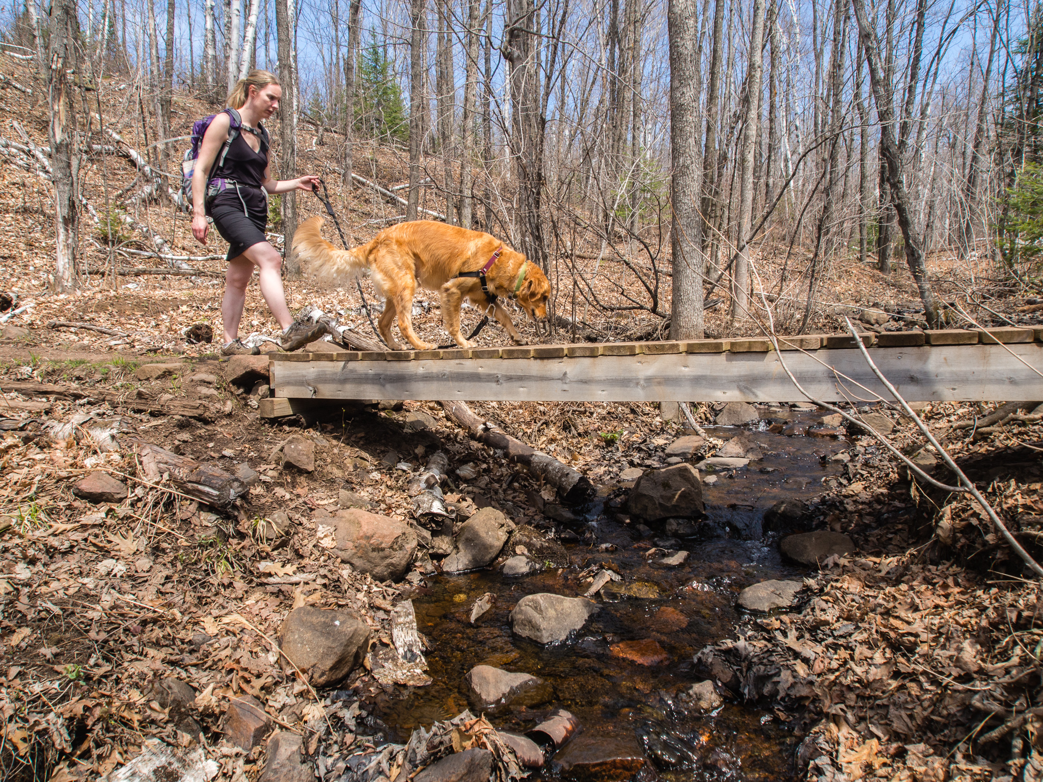
The trail brings you back down past another camp site along Penn Creek. Boardwalks allow easy creek crossings.
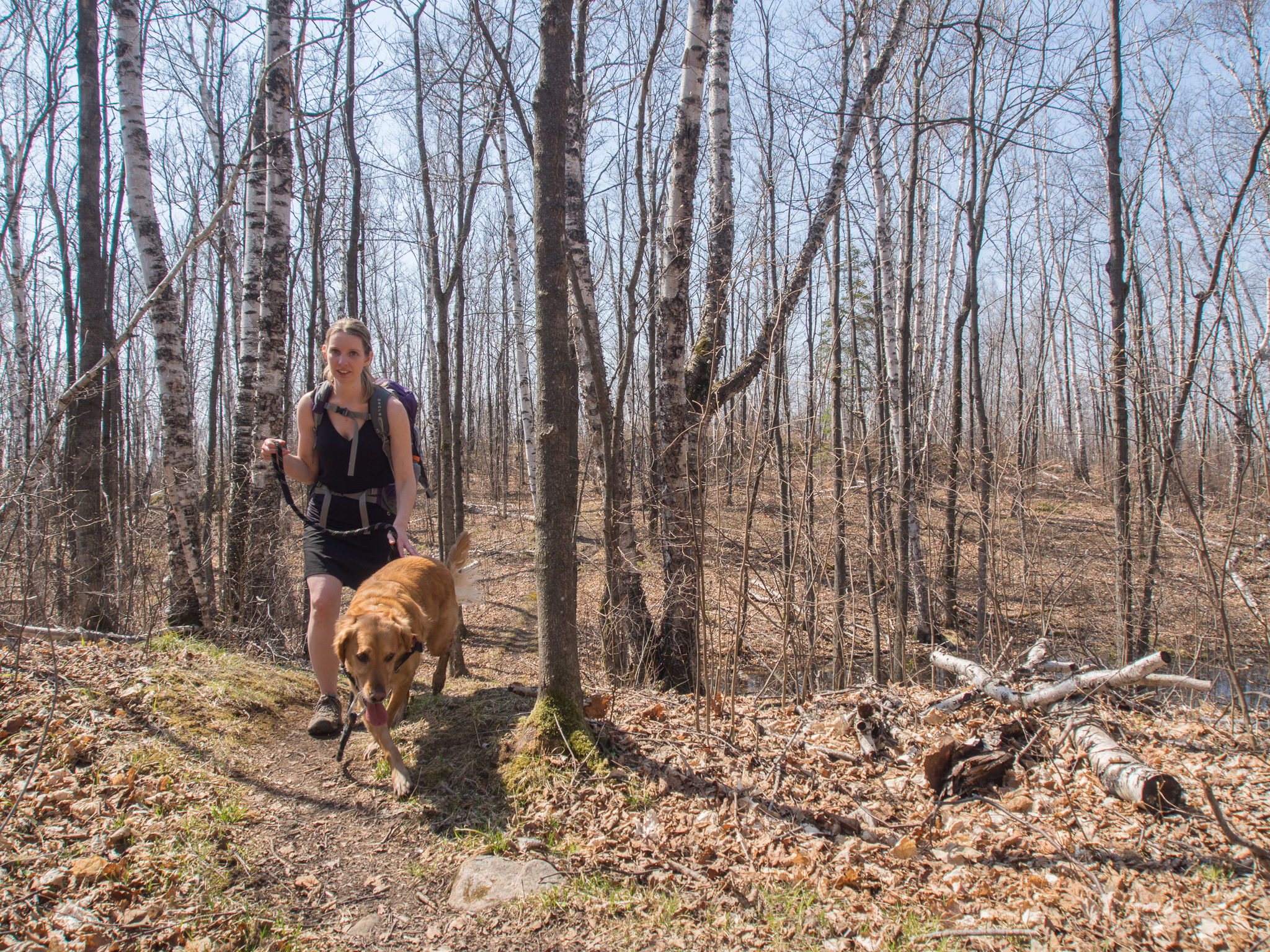
It’s just a further .2 miles back to the first trail junction and completing the loop! You’re not out of the woods yet though! You have to go the 1.8 miles back along the spur trail and back to the trailhead.
Overall this is the best hike we’ve ever done in Minnesota and greatly encourage everyone to hike it! The trail was, generally, well maintained. There were some muddy spots, most of the blowdowns had been cleared, water access for dogs was a bit trickier but there were spots for him to safely stop and water. If we did this hike again we would probably skip the loop and just make it an out and back hike along the ridge lines and down to Bear Lake and then back out. While the Twin Lakes loop was pretty and Elam’s Knob was a nice viewpoint it could easily be skipped. We were very grateful that we hiked this before the bugs were really out but were sad that the trees were only barely budding. I would like to go back and do it after leaf-out!
What a nice trip report. (I know I’m a little late on reading it). Wow, Jack is growing up so fast! MN is beautiful; someday I’ll make it out there. You all look so happy–glad you’re making time for adventures.
Thanks Anna! We can’t believe how fast he’s growing up either. He took his first step yesterday! I travel to Washington about once a month so I’ve got a couple of Washington trip reports to post soon!
Love your article and your GPS Hillmap.
I grew up in Silver Bay and returned 15 years ago to help my parents. During this time I cleared all the old and ancient natural trails in the area, and along the waters edge on the shorelines of Bean and Bear Lakes, and discovered many large artifacts, large stone trail markers, grindstones, a stone map of secret trails up the canyon walls, and a large skull and crossbones petroglyph petrograph marking a religious site on Bean Lake SE shoreline, which is a crematory where the natives burned the bones of their dead, and much more. See photos and GPS map at… Steve Benassi Google Plus page.
The very best trails are along the waters edge in the canyon, looking up at the canyon walls, and on the water, and the unique flora and fauna in the canyon. The trails go completely around both lakes, and the trail is quite the adventure for people who like to rock hop on the steep rock slides along the water’s edge. Several hidden campsites can be found on both lakes.
HI! Thank you for this great report! I just have one question: what time did you get back to the trailhead? I’m trying to plan our day and would like to squeeze in this hike but am wondering how long it took you? Thanks a lot!
Hi John, I’d allow for 3-4 hours of hiking. It probably took us a little bit longer since we had to stop a couple of times for Jack and lunch took a little while. Have fun!