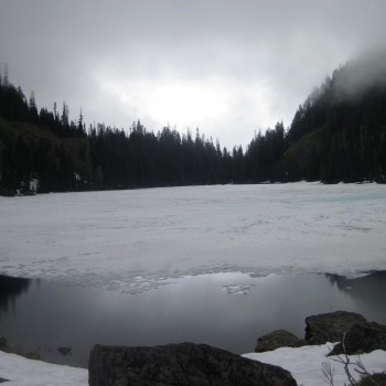
Last Sunday we headed to the eastern slope of the Cascades to climb Hex Mountain. I picked our snowshoe destination based on the fact that it was a clear, sunny day and the avalanche danger level was only moderate for below 4000 feet. The highest point of our hike was 5034 feet but the route follows the spine of a ridge that is protected by trees for the majority of the trek.
Even though I did a ton of research on the route and had our GPS out, we still ended up going way off trail. The hike starts on an old forest road that is being converted into some sort of cabin/resort housing complex.
Roads branch out all over the place. I had read a very detailed description of the hike but we still managed to make a wrong turn when we followed other people’s tracks instead of reading the map and landmarks carefully. As we trekked up some steep trails I kept checking my phone and wondered why our GPS was so off. Eventually we came to a clearing where the tracks started to loop back on themselves and wander aimlessly in the woods. A few minutes later we saw two guys walk out of the brush … they looked to be trying to find the trail themselves. I checked the map again now realizing it was actually showing us exactly where we were and determined if we went down a nearby road we could get back on track – even if it meant backtracking a bit.
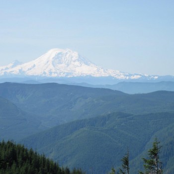
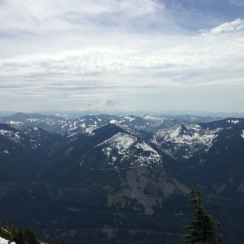
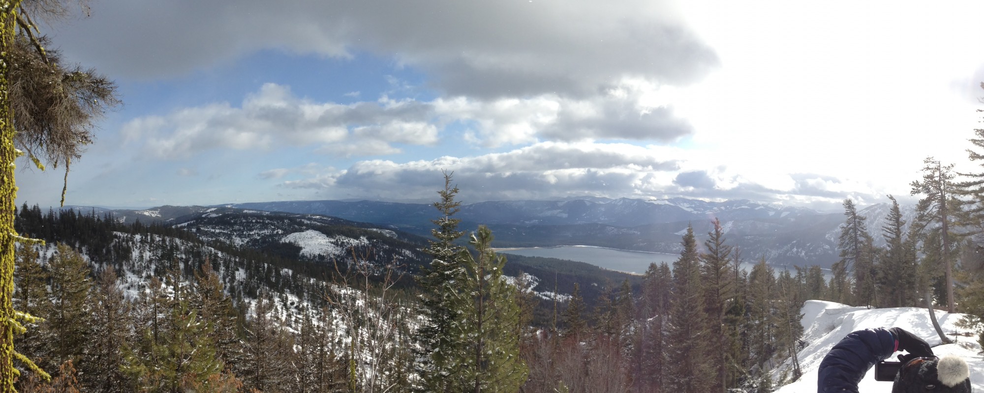
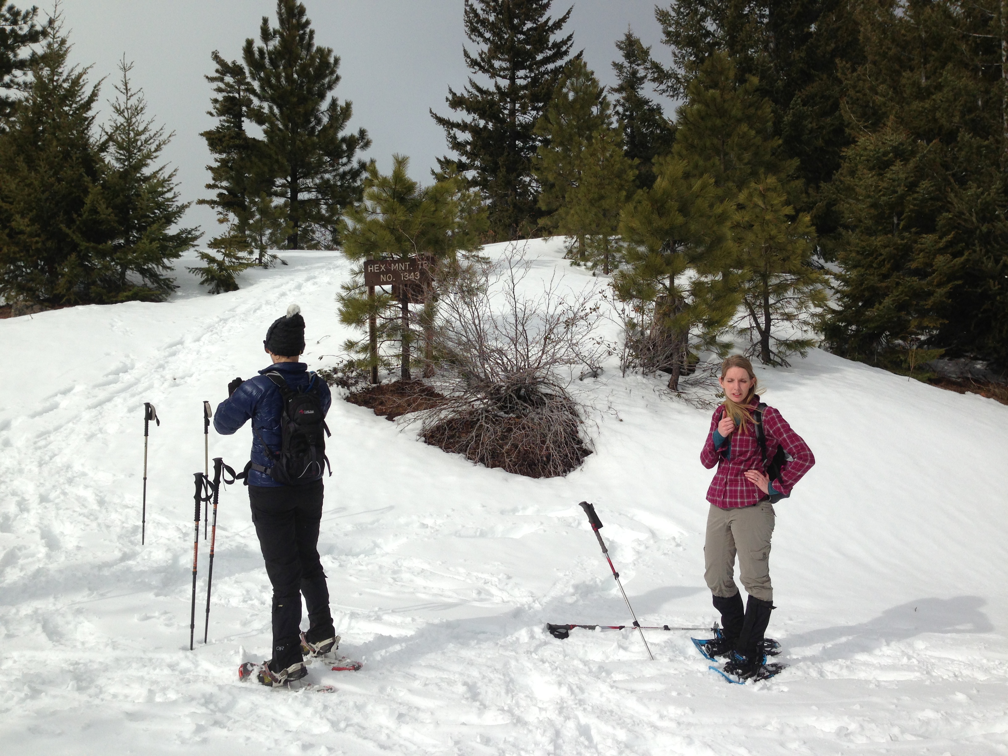
We spent an extra hour wandering around and we were all concerned that we wouldn’t be able to make the summit and get back before dark. So after we found some really nice views we decided to call it a day and hike back.
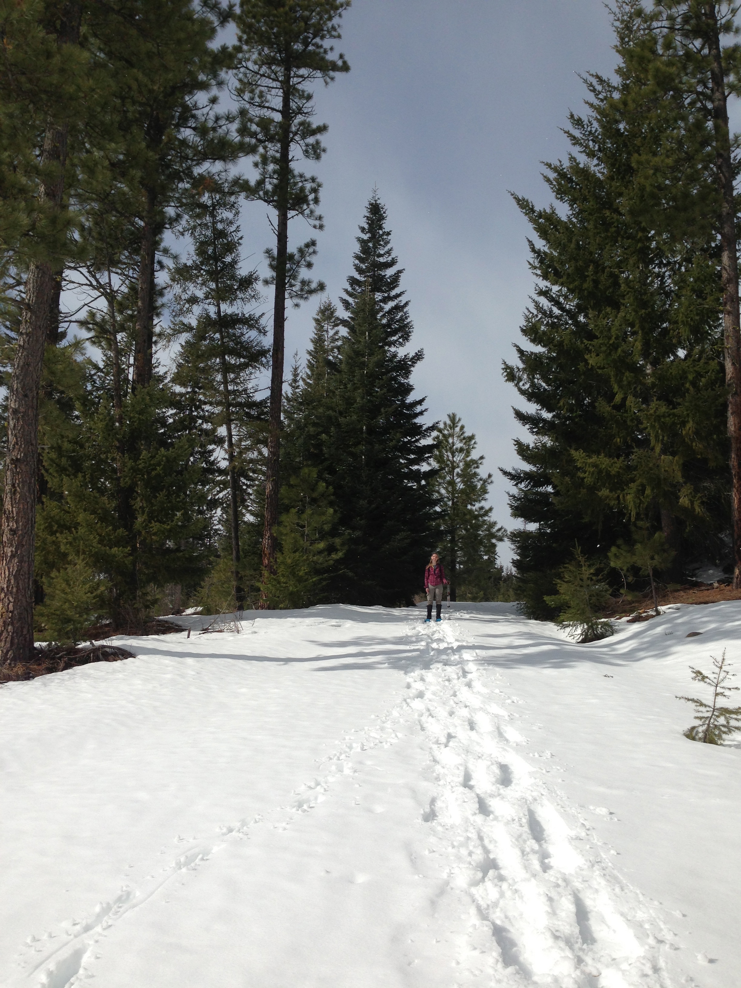
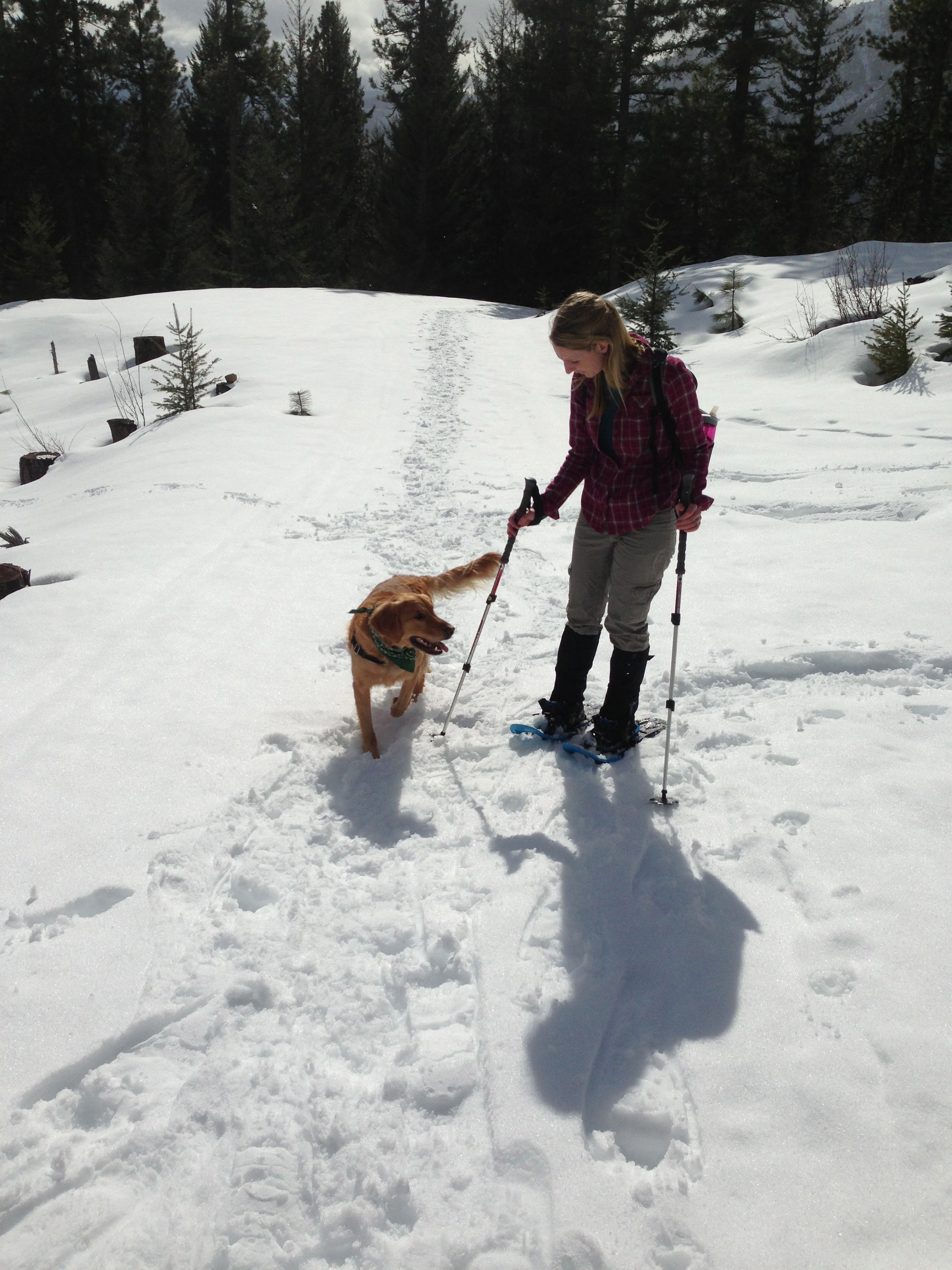
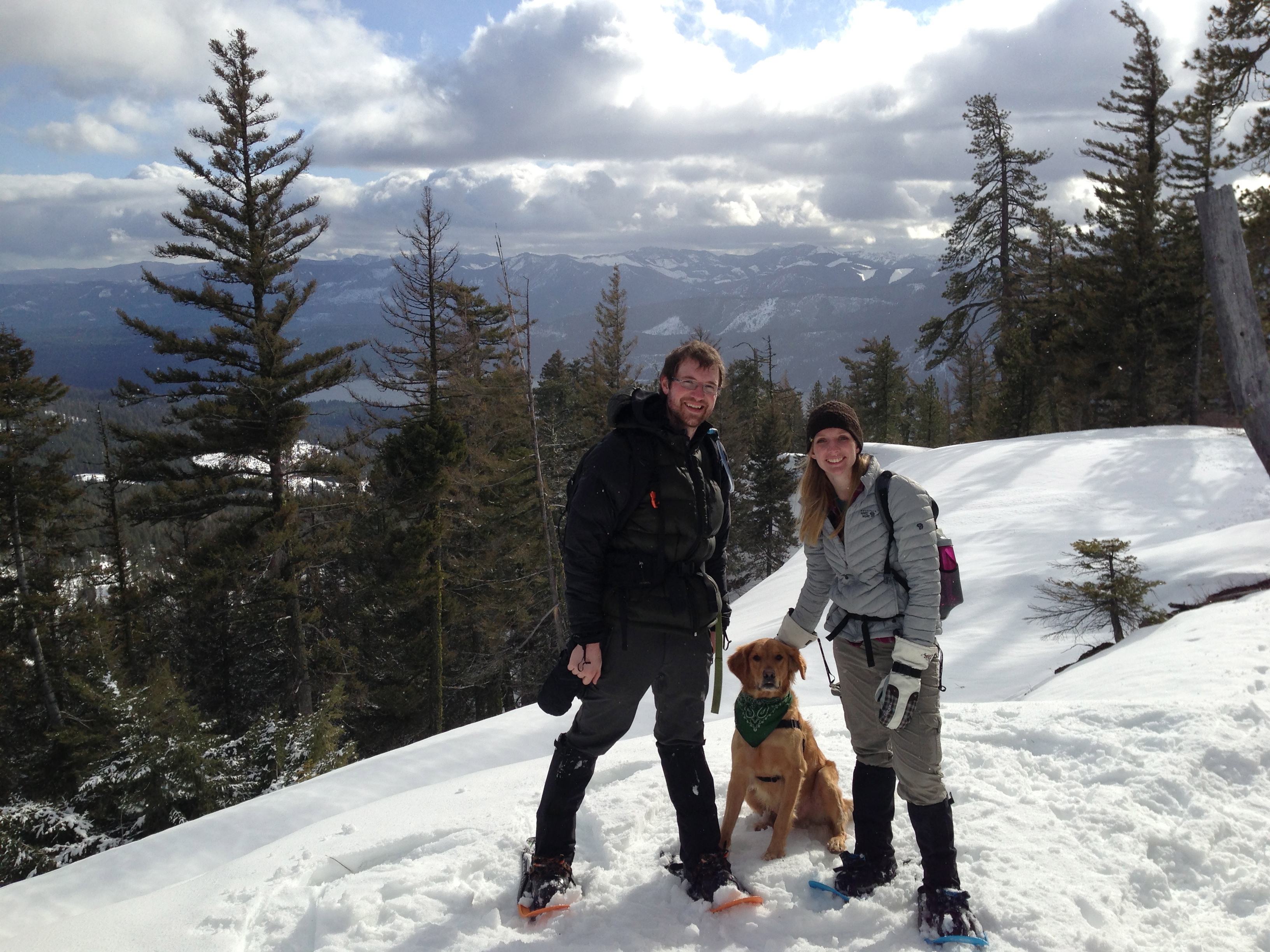
Maura and Latigo
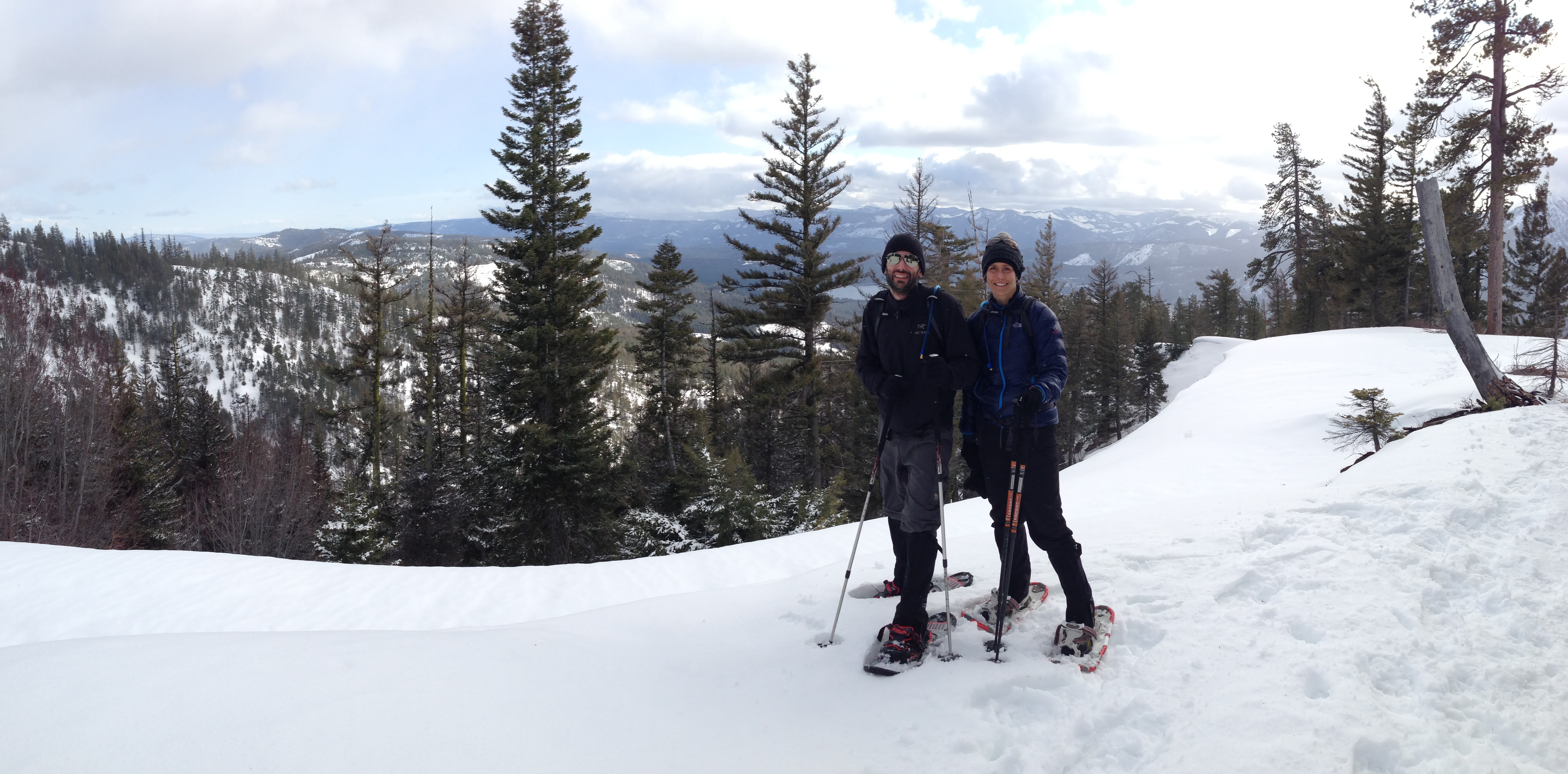
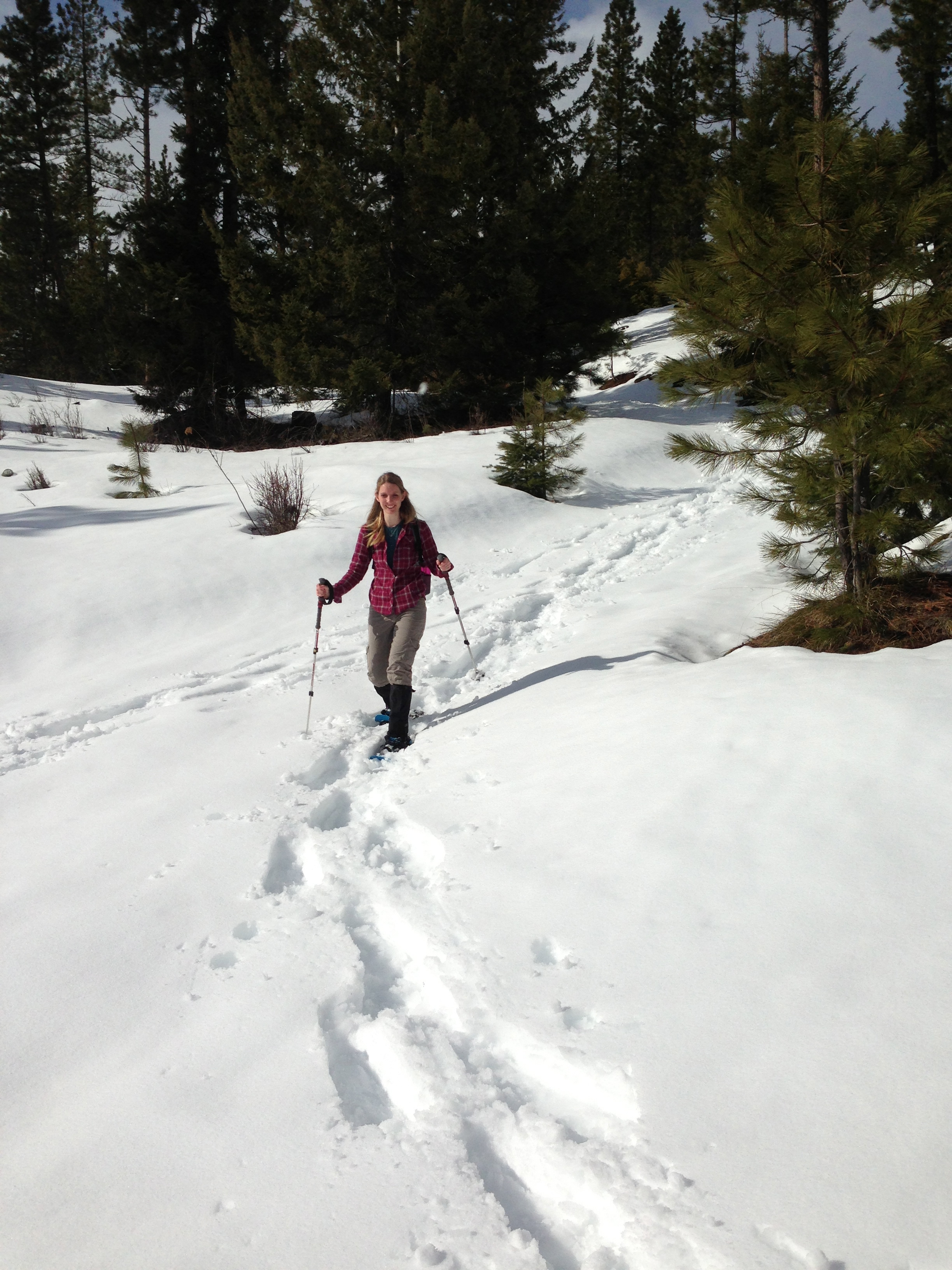
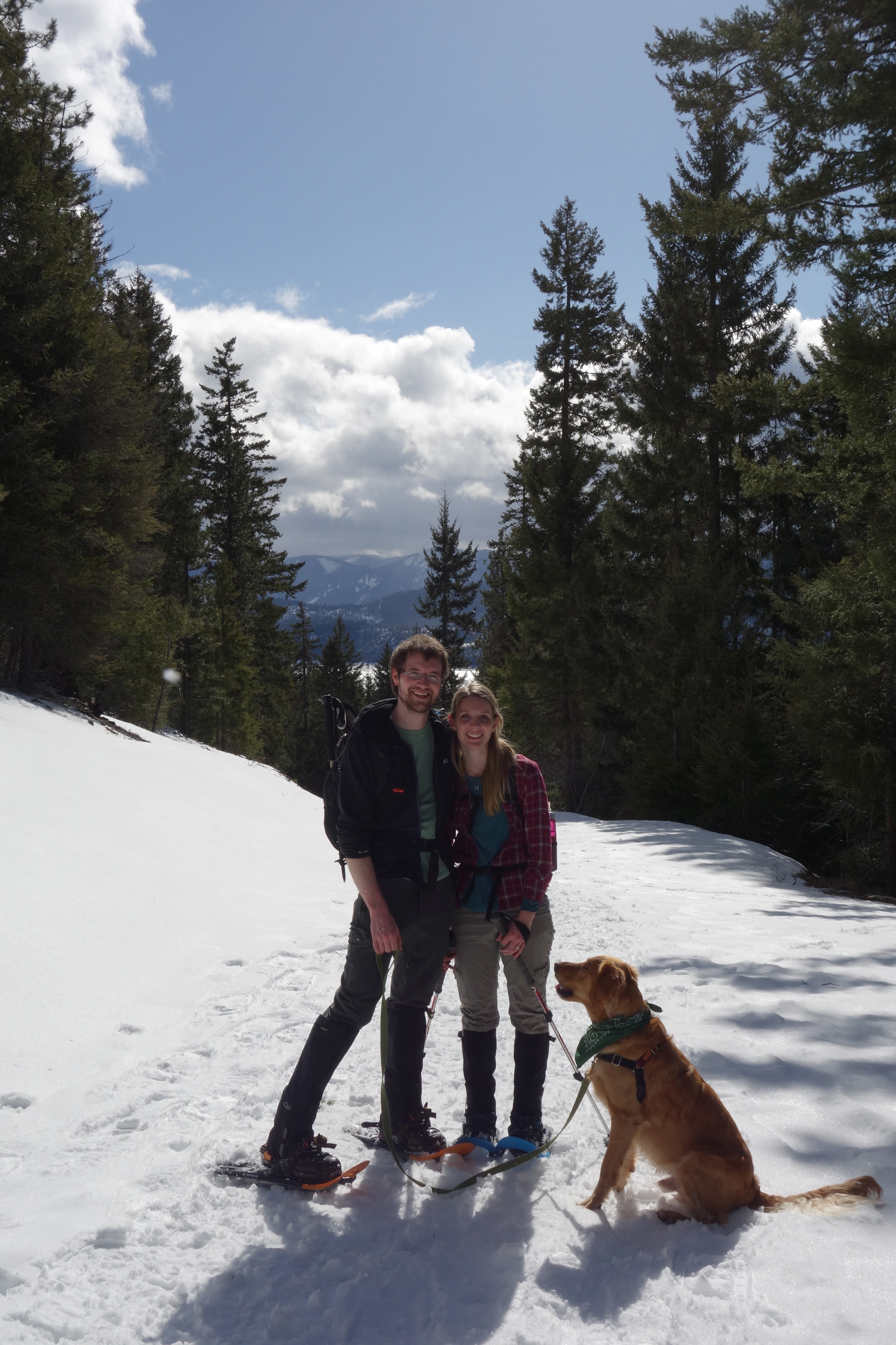
Jason and Stacey
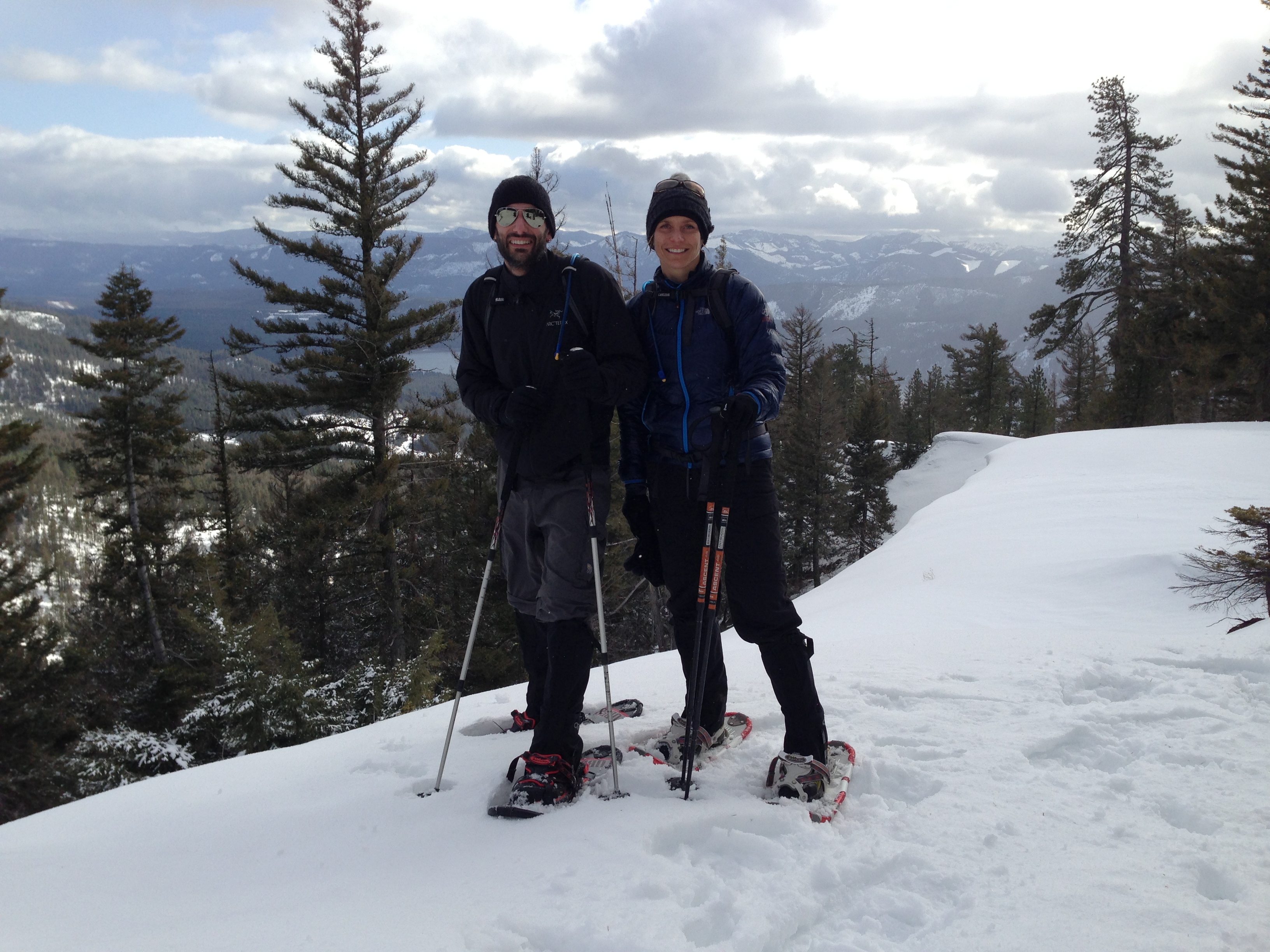
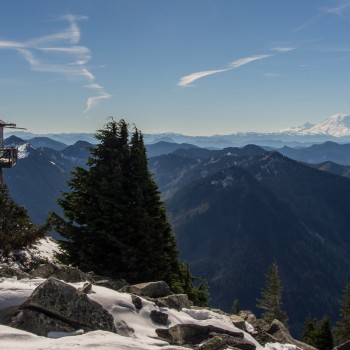
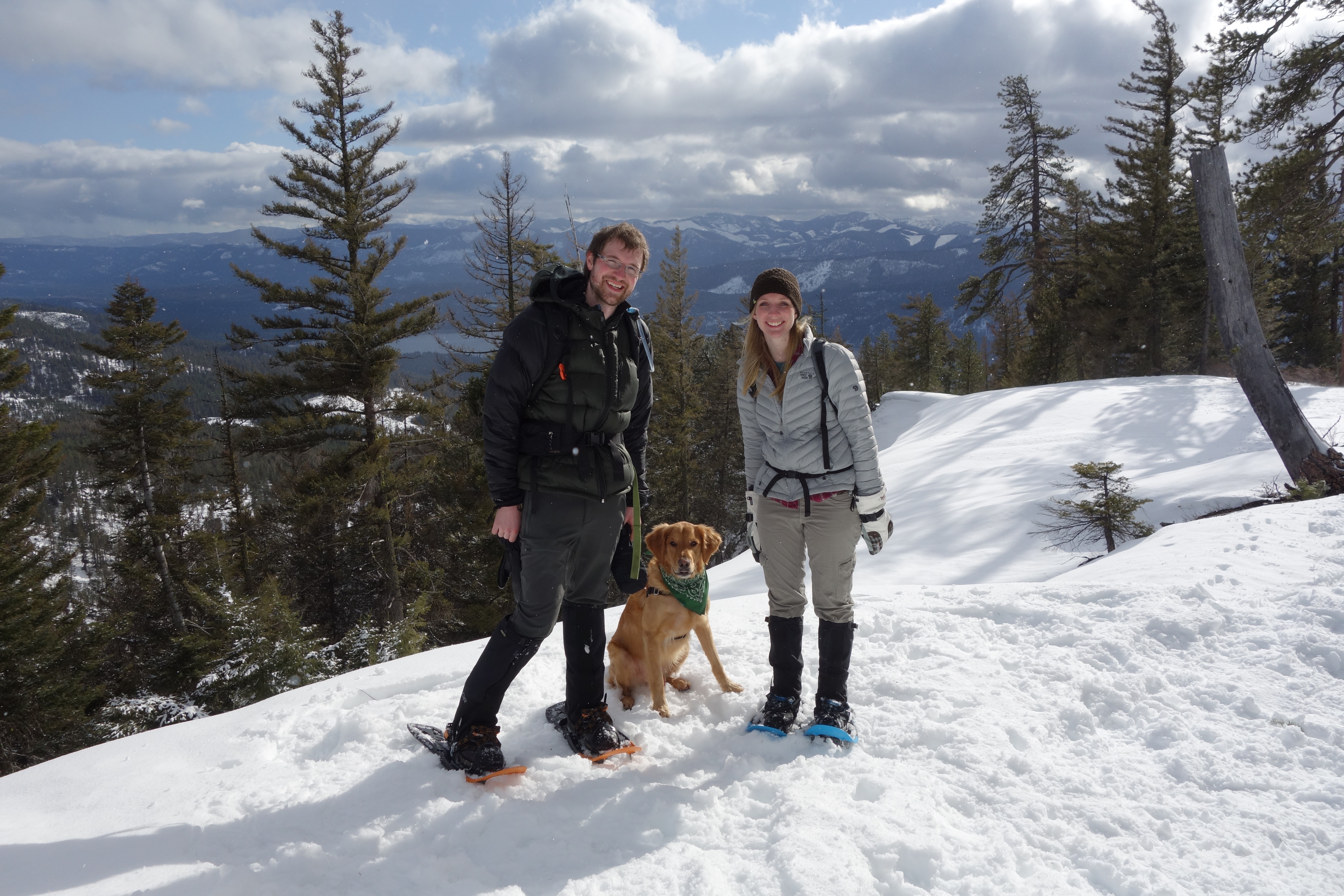
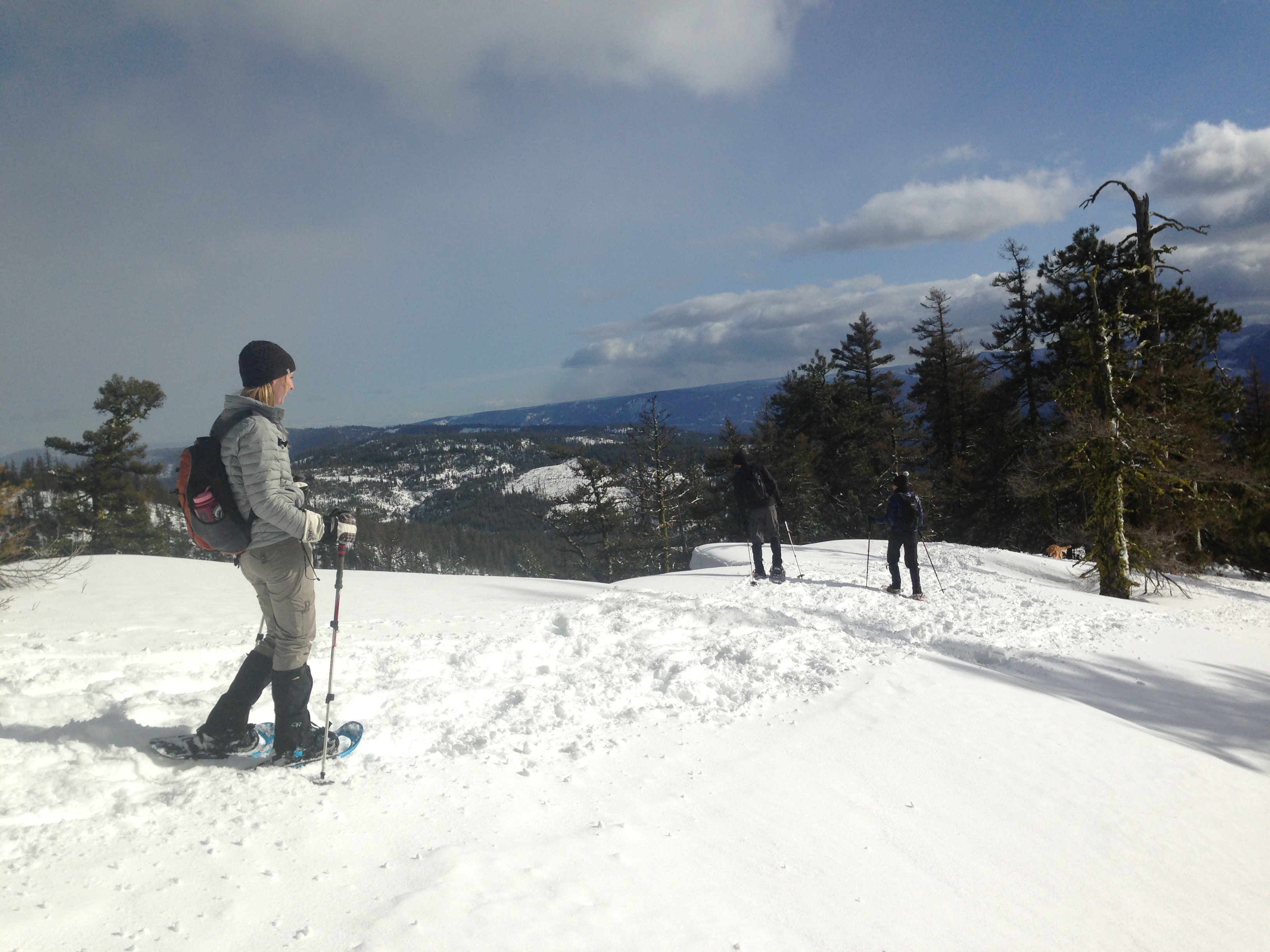
Jason and Stacey at the days highpoint
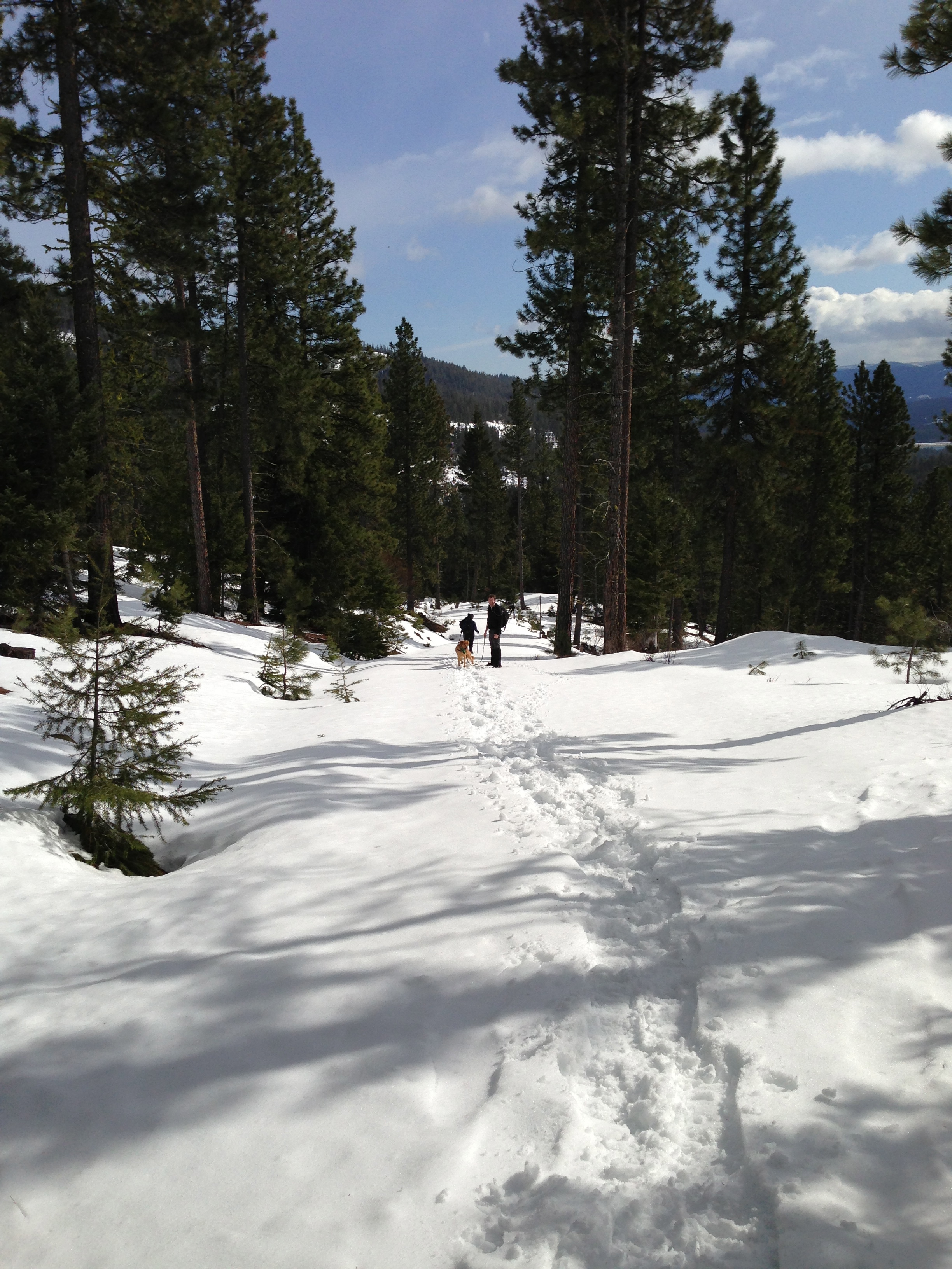
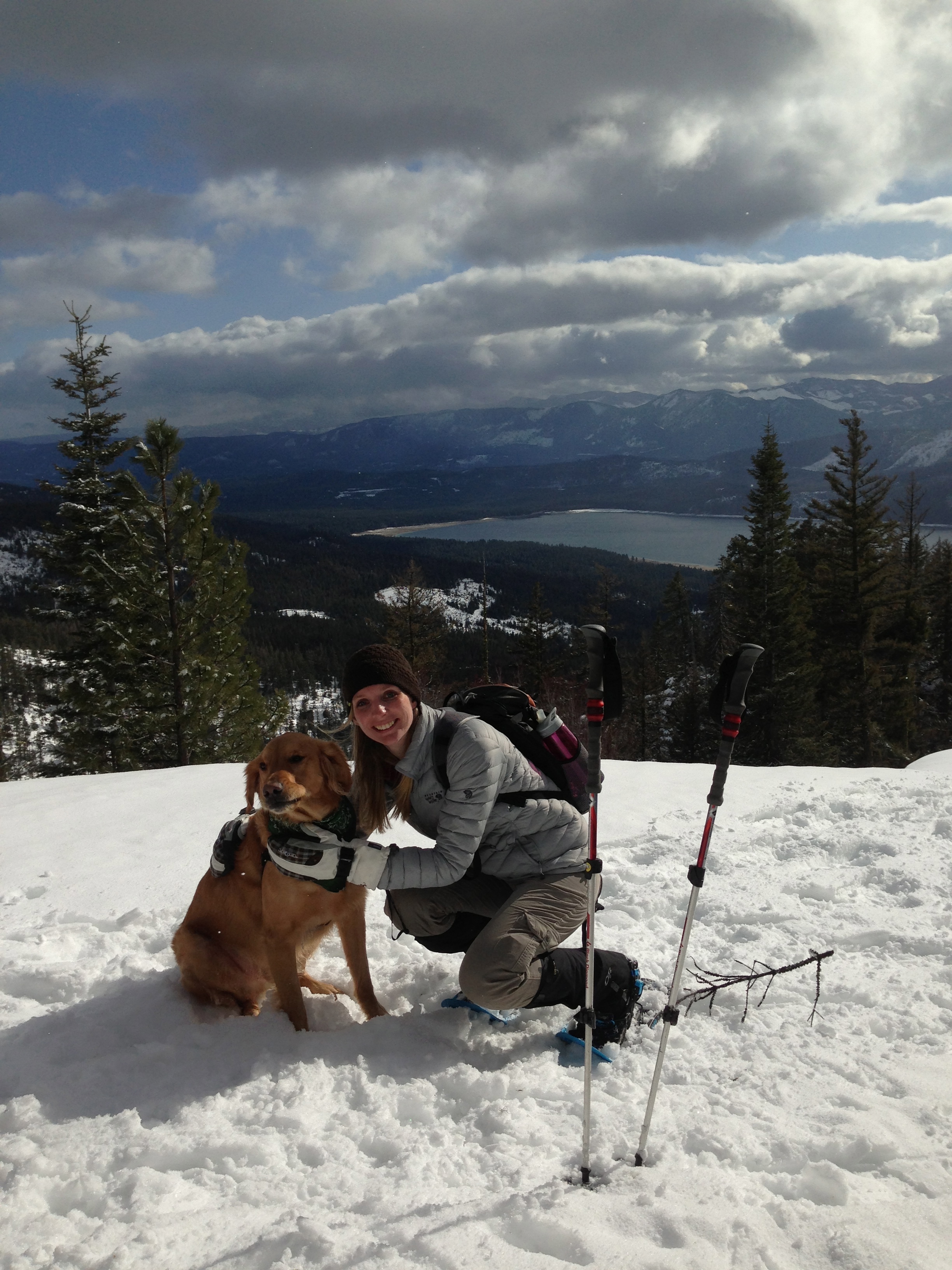
Bobby, Maura and Latigo at the highpoint
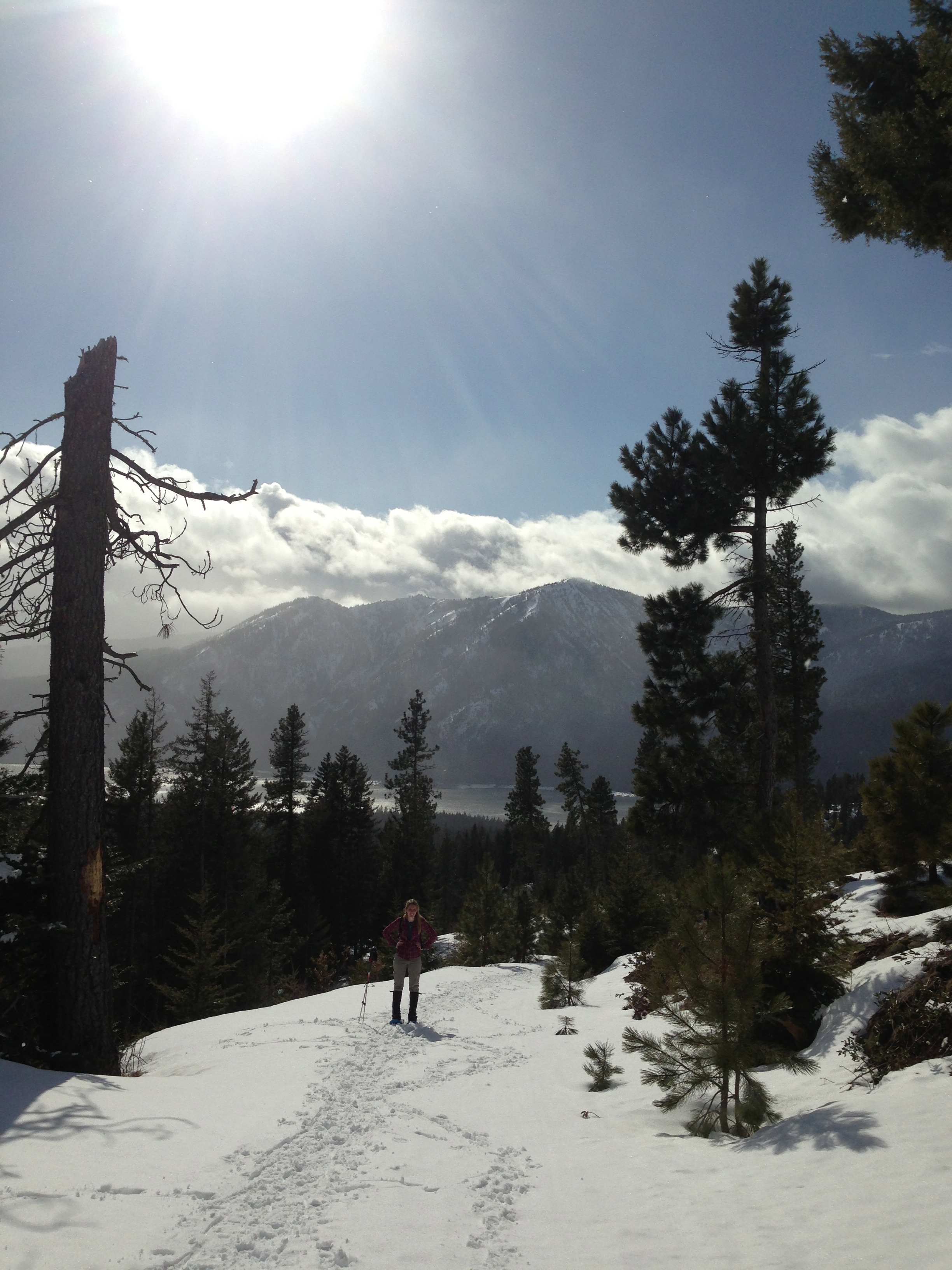
Enjoying the spectacular view!
We probably had about a mile to go to the summit with about 600 feet of elevation gain remaing. This was definitely the most grueling snowshoe we’ve done but it was well worth the views. The full trip is 7 miles with 2600 feet of elevation gain. Hopefully we’ll go back one day and reach the summit!

the 2600 feet of elevation gain proved to be somewhat difficult
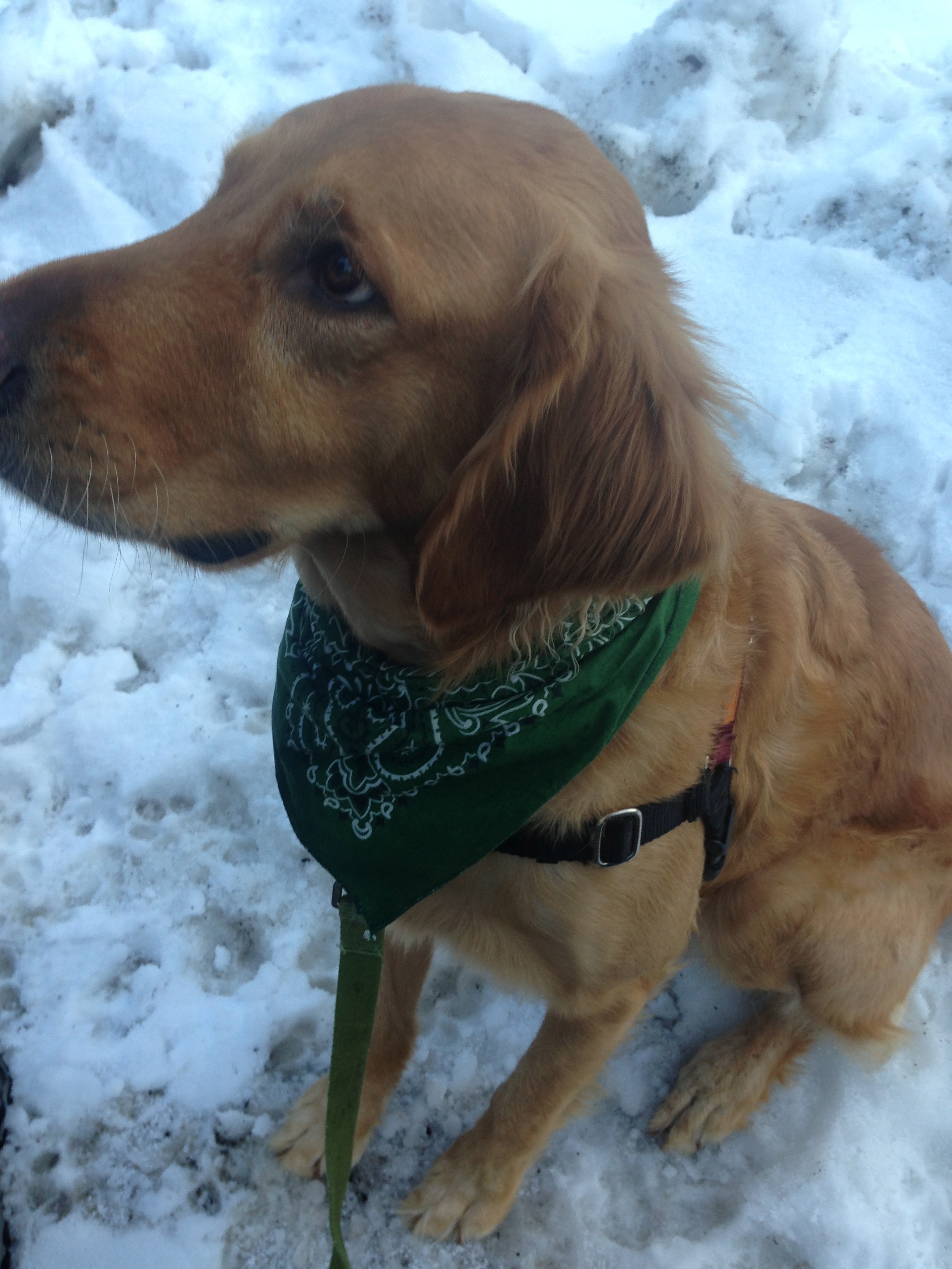
This arduous hike even tired Latigo out!
For the featured product I’ve chosen my new Shango knife my parents got me for my birthday. It’s super light weight and is easy to stash in my pack. It came in handy when we needed to cut a bit of rope to lash our snowshoes onto my backpack for the initial approach.